Road data role for Sydney buses

Asset AI scheme sees 32 public transport buses equipped with a camera and sensor
By David Arminas July 22, 2022 Read time: 2 mins
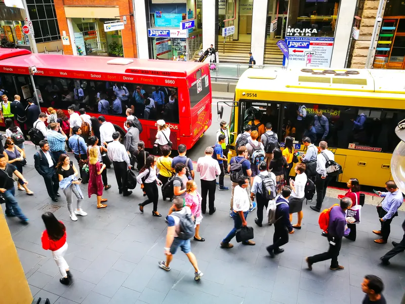
Downtown Sydney: all aboard the AI data bus (© Bundit Minramun | Dreamstime.com)

New South Wales is trialling the use of buses equipped with sensors to predict the rate of road deterioration in order to prioritise road maintenance.

Under the US$1.97 million scheme, called Asset AI, currently 32 public transport buses in the Greater Sydney area each have a camera and sensor.

The technology can be combined with local weather observations to predict the rate of deterioration, according to a statement by the New South Wales government.

The joint initiative by Transport for NSW and the Roads and Transport Directorate includes the technology being mounted onto garbage trucks.

Sam Farraway, minister for regional transport and roads, also said data is being collected outside of the city by a utility vehicle mounted with cameras scanning 100km of rural roads across the state. “We will have it out collecting data along the Great Western Highway between Lithgow and Bathurst, the Sturt Highway near Wagga Wagga and around Spring Ridge in the Upper Hunter.”

Natalie Ward, minister for metropolitan roads, said technology is revolutionising road maintenance across the state. “It’s a brilliant use of resources already on our roads. Mounting cameras and sensors onto vehicles with regular routes, like garbage trucks and public transport buses, ensures road defects are captured incidentally, including those un-reported by residents,” she said.

The NSW government says it is delivering the largest transport infrastructure programme in Australia, a  US$52.15 billion of investment over four years for projects including Sydney Metro, light rail, motorways and road upgrades that will shape the state’s cities, centres and communities for generations to come.

For more information on companies in this article

Related Content

  • Brazil opts for freeflow tolling
    April 9, 2014
    David Crawford explores the technical background of Brazil’s First multi-lane free-flow tolling system. The 2013 opening of Brazil’s first fully-operational, all-vehicle, multi-lane free-flow (MLFF) tolling system in the state of São Paolo has set the scene for a new phase of modern electronic fee collection (EFC) deployment in Latin America’s largest country. It has toll programmes at both federal and state levels, with São Paulo – the most populous state, with the largest road network – leading in the awa
  • ITS-NY Announces 2012 Project of the Year Award Winners
    June 13, 2012
    The Intelligent Transportation Society of New York (ITS-NY) has announced the 2012 ITS-NY Project of the Year Winners at its Nineteenth Annual Meeting and Technology Exhibition in Saratoga Springs, NY. “These winning projects feature ITS and technologies at work in New York State to improve traveller mobility and safety, as well as the efficiency of New York State’s transportation system across all modes of travel,” said Dr Isaac Takyi, ITS-NY president. Winning Projects were announced in the following ITS
  • Extra enforcement key to cutting road casualties in The Netherlands
    November 27, 2013
    While The Netherlands already has some of the safest roads in the world it has ambitious plans to make them safer still, as Jon Masters discovers. In virtually all periodical studies and comparisons of countries’ road safety performance, the Netherlands is consistently in the top three and often leads the world, depending on how casualty figures are compared. According to the International Traffic Safety Data & Analysis Group (IRTAD) of the International Transport Forum, road deaths per capita have falle
  • Inrix informs FHWA’s data improvements
    December 19, 2017
    Refinements in the data available from the US Federal Highway Administration will improve road management across America. David Crawford reports. In August 2017, the US Federal Highway Administration (FHWA) issued the first results from an upgraded version of its National Performance Management Research Data Set (NPMRDS). Developed to identify the locations and times of high congestion affecting traffic flows along America’s 259,000km (161,000 mile) national highway system, this is a key resource for sta