Dash cam company Nexar has partnered with Blyncsy to hold a 'magnifying glass' to the US's road infrastructure.
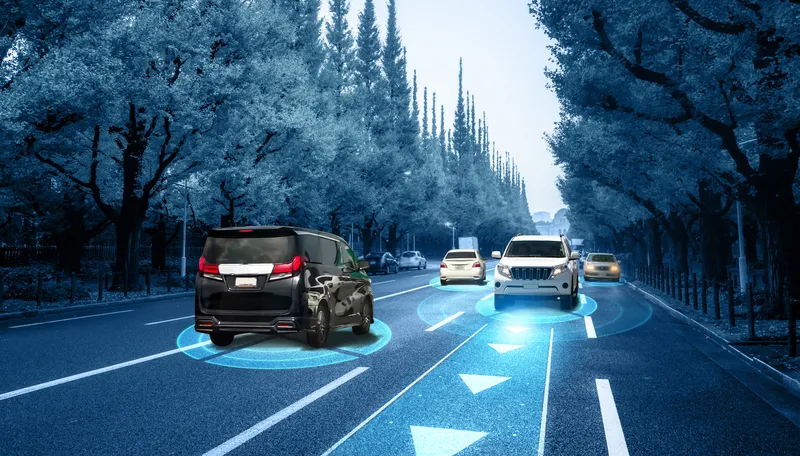
Billions of crowdsourced images from Nexar's dash cams will be used by Blyncsy's Payver technology and machine learning (ML) models to understand changing road conditions and visibility of markings.
These will build a picture of the US's 4.1 million miles of highways, and the firms will then present the findings to state and local governments.
They will focus on the safety message: federal data shows more than 50% of fatalities on US roadways - around 19,000 annually - result when motorists leave their travel lanes.
According to Nexar, most road markings are repainted only once a year - but often need to be maintained due to harsh weather conditions and degrading asphalt pavement markings.
The challenge for DoTs is knowing how their roads are performing on a daily basis, with the ability to be proactive in fixing an issue before it's a problem, the company adds.
Nexar co-founder Eran Shir says: "With many cities investing in expensive Lidar technologies to monitor their streets and roads, or human surveyors, the crowdsourced vision data from Nexar 'sees' the world at eye-level just like we do and provides superior insights at a fraction of the cost.
“Pavement monitoring is just one example of Nexar's value while other cities and businesses are using the data to monitor and understand curb use, real estate trends, pedestrian traffic, construction, and more.”
Blyncsy founder Mark Pittman says: "With this partnership, we're giving government agencies a magnifying glass for their infrastructure, plus the power of continuous pattern analysis and predictive analytics. We're excited to see how this combination can impact public servants, communities, and people everywhere."