The US’s Federal Communications Commission (FCC) has given approval to the Minnesota Department of Transportation (MnDOT) to trial the use of a radar system to monitor and study traffic flow on Interstate 94.
The idea to use radar for traffic monitoring was originally submitted to the agency under its Innovative Idea Program last June. Currently, the proposal is to deploy a traffic detection system that can monitor six lanes of traffic and two overhead bridges from one location.
The objective is to
The US’s 2115 Federal Communications Commission (FCC) has given approval to the 2103 Minnesota Department of Transportation (MnDOT) to trial the use of a radar system to monitor and study traffic flow on Interstate 94.
The idea to use radar for traffic monitoring was originally submitted to the agency under its Innovative Idea Program last June. Currently, the proposal is to deploy a traffic detection system that can monitor six lanes of traffic and two overhead bridges from one location.
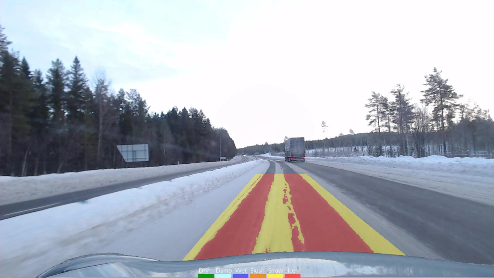
The objective is to gather accurate traffic and congestion information from the trial, with the collected information to be provided to necessary staff for emergency situations. The information is also to be stored to provide congestion and incident metrics. As a side benefit, the proposed system can also detect lane changes and manoeuvres, helping identify driver behaviour.
The proposal has been accepted by MnDOT in conjunction with its partner3525 AECOM, a consultant and technical services partner on the project, and RhiZone, a local innovation partner.
The ultimate goal is to perform traffic data collection activities using the 360 degree radar, test the accuracy of the devices, and provide a detailed summary of traffic data and driver behaviour at the selected field site, which is located on I-94, just east of the Lowry Hill Tunnel near the I-35W overpass.
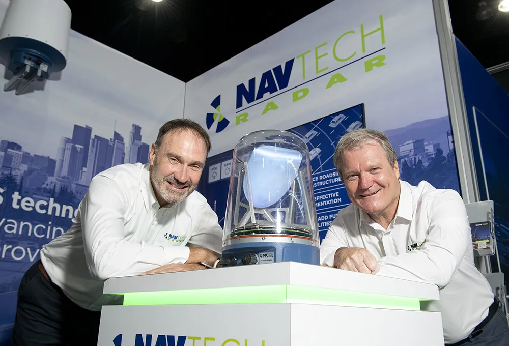
The system will use a radar unit provided by819 Navtech Radar to gather real-time traffic data from the site, and software installed at the MnDOT Regional Traffic Monitoring Center (RTMC) will detect traffic incidents based on analysis of the traffic data collected.
The AECOM Team will be responsible for deployment of the system, data collection, monitoring and reporting. The next steps in the pilot project include producing the Systems Engineering documentation to guide design and deployment activities, and to deploy the radar system for six months of operation, beginning in spring 2015.
The idea to use radar for traffic monitoring was originally submitted to the agency under its Innovative Idea Program last June. Currently, the proposal is to deploy a traffic detection system that can monitor six lanes of traffic and two overhead bridges from one location.
The objective is to gather accurate traffic and congestion information from the trial, with the collected information to be provided to necessary staff for emergency situations. The information is also to be stored to provide congestion and incident metrics. As a side benefit, the proposed system can also detect lane changes and manoeuvres, helping identify driver behaviour.
The proposal has been accepted by MnDOT in conjunction with its partner
The ultimate goal is to perform traffic data collection activities using the 360 degree radar, test the accuracy of the devices, and provide a detailed summary of traffic data and driver behaviour at the selected field site, which is located on I-94, just east of the Lowry Hill Tunnel near the I-35W overpass.
The system will use a radar unit provided by
The AECOM Team will be responsible for deployment of the system, data collection, monitoring and reporting. The next steps in the pilot project include producing the Systems Engineering documentation to guide design and deployment activities, and to deploy the radar system for six months of operation, beginning in spring 2015.