Metro-North seat tracker links to Google Maps 

Real-time data shows estimated customers in each car on New York MTA rail route
By Ben Spencer December 27, 2021 Read time: 2 mins
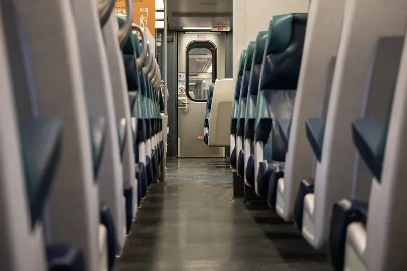
MTA says the real-time seat tracking function measures the weight of each car's seating cabin using data from the suspension system (© Scott Heaney | Dreamstime.com)

The New York Metropolitan Transportation Authority's (MTA) Metro-North Railroad is expanding the seat availability feature in its app on Google Maps. 

The feature was first available via the Metro-North Train Time app last November for most trains operating on electric portions of the Harlem and Hudson Lines, and has since expanded to all east of Hudson trains.

The MTA says customers can now also turn to Google Maps to see the capacity of seats available in each car to make informed decisions based on the real-time data of how many estimated customers are on each train car.

The real-time seat tracking function measures the weight of each car's seating cabin using data from the suspension system, the authority adds. 

According to the MTA, Metro-North modified the software on the cars to transmit this weight value to a central server, from which a nearly precise estimate of how many customers are on board can be derived. 

Catherine Rinaldi, president of MTA Metro-North Railroad, says: “Through the collaborative efforts of teams at MTA IT, Metro-North and Google, it’s even easier to get access to real-time seating availability. This is especially valuable for our occasional riders who may not have downloaded our trailblazing Train Time app on their phone. We want to make it as convenient as possible as we continue to welcome back our riders.” 
 

For more information on companies in this article

Related Content

  • Uber drivers are 'workers', say lawmakers
    February 22, 2021
    UK Supreme Court decision could disrupt ride-hailing giant's business model in London
  • Here’s HD AV map prepared for 5G
    June 17, 2019
    The emergence of 5G may not be necessary to provide a high-definition map for autonomous driving, says Matt Preyss from Here Technologies. Ben Spencer asks why 5G is a hot topic worldwide, with the potential for faster transfer of information eagerly awaited by those convinced that it will be a game-changer for the ITS industry. High-definition (HD) maps are essential to allow autonomous vehicles (AVs) to understand their environment, and operate safely within it in relation to other road users and p
  • Shotl delivers Lisbon DRT system 
    February 4, 2022
    Xbus white-label app used for Carris' Ride Now weekday service in Portuguese capital
  • Cohda Wireless: 'New York has the best urban canyons'
    July 21, 2020
    Dr Paul Alexander, chief technical officer of Cohda Wireless, talks to Adam Hill about DSRC versus C-V2X, global connected vehicle take-up, the uses of WiFi – and, of course, seeing round the Big Apple's buildings...