Metro-North seat tracker links to Google Maps 

Real-time data shows estimated customers in each car on New York MTA rail route
By Ben Spencer December 27, 2021 Read time: 2 mins
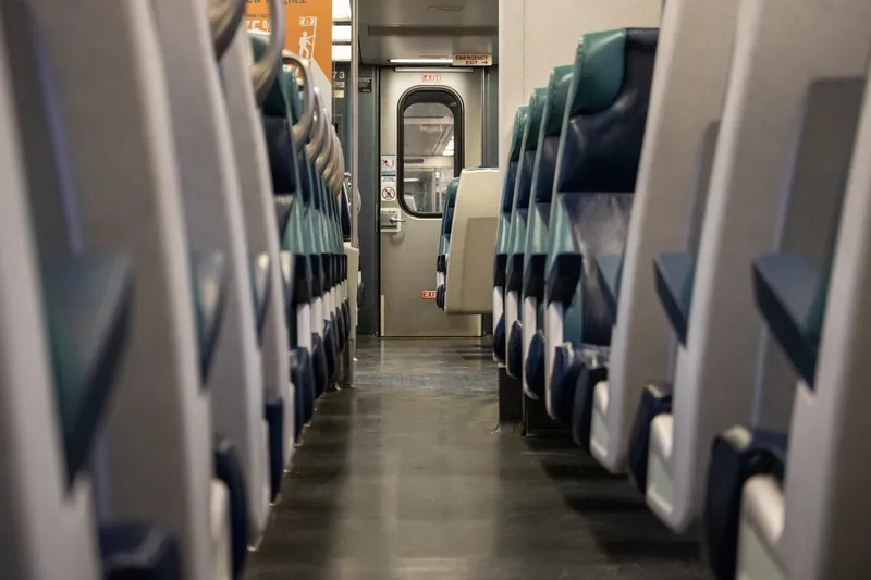
MTA says the real-time seat tracking function measures the weight of each car's seating cabin using data from the suspension system (© Scott Heaney | Dreamstime.com)

The New York Metropolitan Transportation Authority's (MTA) Metro-North Railroad is expanding the seat availability feature in its app on Google Maps. 

The feature was first available via the Metro-North Train Time app last November for most trains operating on electric portions of the Harlem and Hudson Lines, and has since expanded to all east of Hudson trains.

The MTA says customers can now also turn to Google Maps to see the capacity of seats available in each car to make informed decisions based on the real-time data of how many estimated customers are on each train car.

The real-time seat tracking function measures the weight of each car's seating cabin using data from the suspension system, the authority adds. 

According to the MTA, Metro-North modified the software on the cars to transmit this weight value to a central server, from which a nearly precise estimate of how many customers are on board can be derived. 

Catherine Rinaldi, president of MTA Metro-North Railroad, says: “Through the collaborative efforts of teams at MTA IT, Metro-North and Google, it’s even easier to get access to real-time seating availability. This is especially valuable for our occasional riders who may not have downloaded our trailblazing Train Time app on their phone. We want to make it as convenient as possible as we continue to welcome back our riders.” 
 

Related Content

  • April 5, 2021
    LA confirms $133m transit contracts
    Sepulveda Transit Corridor Project includes rail and monorail solutions for busy road routes
  • May 22, 2012
    New York pioneers online mobile real-time bus tracking
    An unusual technology collaboration. David Crawford investigates Early in January 2012, the New York City Metropolitan Transportation Authority (MTA) rolled out the first borough-wide implementation of its pioneering Bus Time online mobile real-time tracking service. The system allow commuters to track each bus on every route in real-time on the internet, via smartphones and by text messaging to a mobile phone. The MTA chose Staten Island for its first live launch due to it being the only one of the five Ne
  • May 26, 2020
    OpenSpace visualises how social distancing will work
    OpenSpace CEO Nicolas Le Glatin tells Adam Hill how Xovis camera tech might help unlock more convenient ways for moving through mobility hubs during Covid-19
  • January 29, 2021
    Opinion: MaaSive fail
    Are we in danger of losing our way on Mobility as a Service? Johan Herrlin of Ito World wonders if there is too much focus on the system and not enough on problem-solving...