Metro-North seat tracker links to Google Maps 

Real-time data shows estimated customers in each car on New York MTA rail route
By Ben Spencer December 27, 2021 Read time: 2 mins
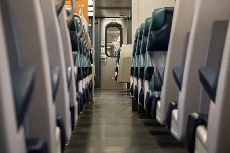
MTA says the real-time seat tracking function measures the weight of each car's seating cabin using data from the suspension system (© Scott Heaney | Dreamstime.com)

The New York Metropolitan Transportation Authority's (MTA) Metro-North Railroad is expanding the seat availability feature in its app on Google Maps. 

The feature was first available via the Metro-North Train Time app last November for most trains operating on electric portions of the Harlem and Hudson Lines, and has since expanded to all east of Hudson trains.

The MTA says customers can now also turn to Google Maps to see the capacity of seats available in each car to make informed decisions based on the real-time data of how many estimated customers are on each train car.

The real-time seat tracking function measures the weight of each car's seating cabin using data from the suspension system, the authority adds. 

According to the MTA, Metro-North modified the software on the cars to transmit this weight value to a central server, from which a nearly precise estimate of how many customers are on board can be derived. 

Catherine Rinaldi, president of MTA Metro-North Railroad, says: “Through the collaborative efforts of teams at MTA IT, Metro-North and Google, it’s even easier to get access to real-time seating availability. This is especially valuable for our occasional riders who may not have downloaded our trailblazing Train Time app on their phone. We want to make it as convenient as possible as we continue to welcome back our riders.” 
 

For more information on companies in this article

Related Content

  • Vianova to boost micromobility in Stockholm 
    April 30, 2021
    Voi electric scooters are involved in integration of shared mobility services in city
  • Sydney gets real-time bus information
    December 18, 2012
    Sydney bus passengers can now track whether their bus service is running late, with the New South Wales (NSW) government making real-time information on bus movements available to mobile app developers. The latest versions of TripView, Arrivo Sydney and TripGo allow users to locate the nearest bus stop and ticket machine, predict when a bus is to arrive and see where a bus is on its route using GPS data from the Public Transport Information Priority System (PTIPS). The real time information will initially b
  • Multimodal link-up in Vancouver
    July 2, 2024
    Metro Vancouver sees the value in seamless travel between modes and is pushing ahead with a new pilot designed to make it a reality. David Arminas reports on the RideLink project
  • Connecticut helps blind transport riders
    November 2, 2021
    18-month programme has input from the CDoT and FHA