Metro-North seat tracker links to Google Maps 

Real-time data shows estimated customers in each car on New York MTA rail route
By Ben Spencer December 27, 2021 Read time: 2 mins
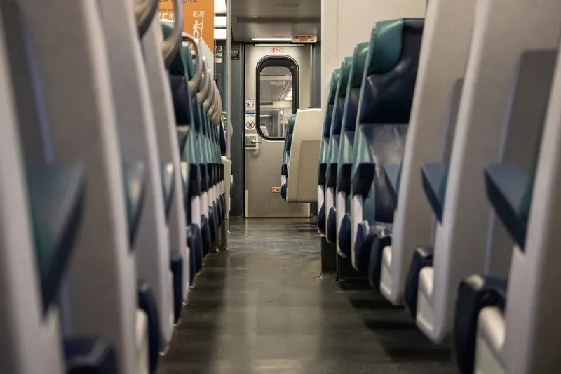
MTA says the real-time seat tracking function measures the weight of each car's seating cabin using data from the suspension system (© Scott Heaney | Dreamstime.com)

The New York Metropolitan Transportation Authority's (MTA) Metro-North Railroad is expanding the seat availability feature in its app on Google Maps. 

The feature was first available via the Metro-North Train Time app last November for most trains operating on electric portions of the Harlem and Hudson Lines, and has since expanded to all east of Hudson trains.

The MTA says customers can now also turn to Google Maps to see the capacity of seats available in each car to make informed decisions based on the real-time data of how many estimated customers are on each train car.

The real-time seat tracking function measures the weight of each car's seating cabin using data from the suspension system, the authority adds. 

According to the MTA, Metro-North modified the software on the cars to transmit this weight value to a central server, from which a nearly precise estimate of how many customers are on board can be derived. 

Catherine Rinaldi, president of MTA Metro-North Railroad, says: “Through the collaborative efforts of teams at MTA IT, Metro-North and Google, it’s even easier to get access to real-time seating availability. This is especially valuable for our occasional riders who may not have downloaded our trailblazing Train Time app on their phone. We want to make it as convenient as possible as we continue to welcome back our riders.” 
 

For more information on companies in this article

Related Content

  • Future-proofing transportation with a one-stop optical network solution
    July 20, 2021
    Huawei is helping transportation customers leverage optical transmission networks to optimise their communications and ensure business survival in the fast-changing worlds of road, rail, aviation, maritime and logistics
  • Bluetooth and Wi-Fi offer new options for travel time measurements
    November 20, 2013
    New trials show Bluetooth and Wi-Fi signals can be reliably used for measuring travel times and at a lower cost than an ANPR system, but which is the better proposition depends on many factors. Measuring travel times has traditionally relied automatic number plate (or licence plate) recognition (ANPR/ALPR) cameras capturing the progress of vehicles travelling along a pre-defined route. Such systems also have the benefit of being able to count passing traffic and have become a vital tool in dealing with c
  • What's next for traffic management and data collection?
    January 26, 2012
    As the technologies and stakeholders in traffic management evolve, what can we expect to see happening in the coming years? For many, the conversation of the moment is just how, and how far, the newer technologies and services provided principally by the private sector should be allowed to intrude into the realms of traffic management.
  • Switching Atlanta onto MaaS
    May 9, 2019
    It’s easy to talk about MaaS in the abstract – but MaaS isn’t going to work if it’s just a theory. Colin Sowman speaks to one woman about the practical benefits - and difficulties - of getting out of her car and switching to public transit in Atlanta, Georgia One of the first goals of Mobility as a Service (MaaS) inventor Sampo Hietanen is that MaaS should persuade households they don’t need a second car. This is starting to happen - even in the car-dominated US. Last year, authorities in the state of Ge