Metro-North seat tracker links to Google Maps 

Real-time data shows estimated customers in each car on New York MTA rail route
By Ben Spencer December 27, 2021 Read time: 2 mins
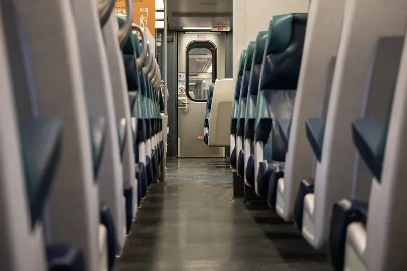
MTA says the real-time seat tracking function measures the weight of each car's seating cabin using data from the suspension system (© Scott Heaney | Dreamstime.com)

The New York Metropolitan Transportation Authority's (MTA) Metro-North Railroad is expanding the seat availability feature in its app on Google Maps. 

The feature was first available via the Metro-North Train Time app last November for most trains operating on electric portions of the Harlem and Hudson Lines, and has since expanded to all east of Hudson trains.

The MTA says customers can now also turn to Google Maps to see the capacity of seats available in each car to make informed decisions based on the real-time data of how many estimated customers are on each train car.

The real-time seat tracking function measures the weight of each car's seating cabin using data from the suspension system, the authority adds. 

According to the MTA, Metro-North modified the software on the cars to transmit this weight value to a central server, from which a nearly precise estimate of how many customers are on board can be derived. 

Catherine Rinaldi, president of MTA Metro-North Railroad, says: “Through the collaborative efforts of teams at MTA IT, Metro-North and Google, it’s even easier to get access to real-time seating availability. This is especially valuable for our occasional riders who may not have downloaded our trailblazing Train Time app on their phone. We want to make it as convenient as possible as we continue to welcome back our riders.” 
 

For more information on companies in this article

Related Content

  • IBTTA’s roll-call of excellence
    September 2, 2022
    Winners of the IBTTA’s Toll Excellence Awards will be presented with their trophies during the 90th Annual Meeting & Exhibition in Austin, Texas
  • Autotalks joins Secur V2X project
    March 24, 2021
    Renault, Honda and Continental are also involved in V2X test procedures initiative
  • LiDAR sets its sights on future problems
    February 23, 2017
    AAdvances in LiDAR are helping transport authorities improve services and identify potential problem areas, as geospatial technology expert Dr Neil Slatcher explains. The effects of climate change on the transport infrastructure have long been a cause of concern within the transportation sector - and not only on the structures themselves but also on the surrounding areas. This year, those concerns have become reality with landslides, structural collapses and surfacing issues impacting services across the wo
  • Sacramento to establish multimodal hub 
    April 27, 2021
    Sacramento Valley Station Area Plan offers regional centre for sustainable mobility