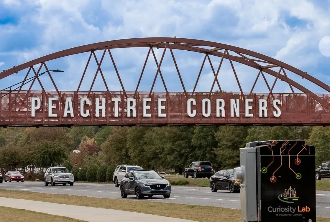
In a project designed to align law enforcement, traffic and security with innovative technology and data analytics to improve safety and efficiency, Image Sensing Systems is dedicating significant resources to its CitySync initiative to improve safety and efficiency for cities and highways.
In a project designed to align law enforcement, traffic and security with innovative technology and data analytics to improve safety and efficiency, 6626 Image Sensing Systems is dedicating significant resources to its 539 CitySync initiative to improve safety and efficiency for cities and highways.
The company’s research arm, ISS Labs, is investigating new ways to combine leading-edge above-ground detection technology, radar, big data collection and analysis to give law enforcement, security, parking and traffic management professionals more precise and accurate information. With increased real-time reaction capabilities and in-depth analytics, these professionals will be able to make more confident and proactive decisions that will streamline operations and improve safety.
In addition, Image Sensing Systems is offering its expertise and influence to help decision-makers work together and unify efforts through shared data and technology, as part of CitySync.
CitySync Safety data analytics software is a back office solution which automatically turns data collected from licence plate recognition (LPR) technology into analysed information, providing law enforcement with the critical evidence they need. CitySync safety will be previews at the2118 International Association of Chiefs of Police Conference this month.
“The world is ripe for new solutions,” said Kris Tufto, CEO of Image Sensing Systems. “As cities try to do more with less, most have yet to fully realise the benefit of interconnected efforts,” said Tufto. “CitySync is a unified solution – and ambition – that leverages innovative technology and mutual cooperation to make our cities safer and operationally more cost effective.”
The company’s research arm, ISS Labs, is investigating new ways to combine leading-edge above-ground detection technology, radar, big data collection and analysis to give law enforcement, security, parking and traffic management professionals more precise and accurate information. With increased real-time reaction capabilities and in-depth analytics, these professionals will be able to make more confident and proactive decisions that will streamline operations and improve safety.
In addition, Image Sensing Systems is offering its expertise and influence to help decision-makers work together and unify efforts through shared data and technology, as part of CitySync.
CitySync Safety data analytics software is a back office solution which automatically turns data collected from licence plate recognition (LPR) technology into analysed information, providing law enforcement with the critical evidence they need. CitySync safety will be previews at the
“The world is ripe for new solutions,” said Kris Tufto, CEO of Image Sensing Systems. “As cities try to do more with less, most have yet to fully realise the benefit of interconnected efforts,” said Tufto. “CitySync is a unified solution – and ambition – that leverages innovative technology and mutual cooperation to make our cities safer and operationally more cost effective.”