
Sensys says RTMS Echo brings 12 lanes into view

Radar solution can be configured with a computer, tablet or smartphone
By Adam Hill December 11, 2023 Read time: 2 mins
The pole-mounted side-fire radar units are quick to install, Sensys says

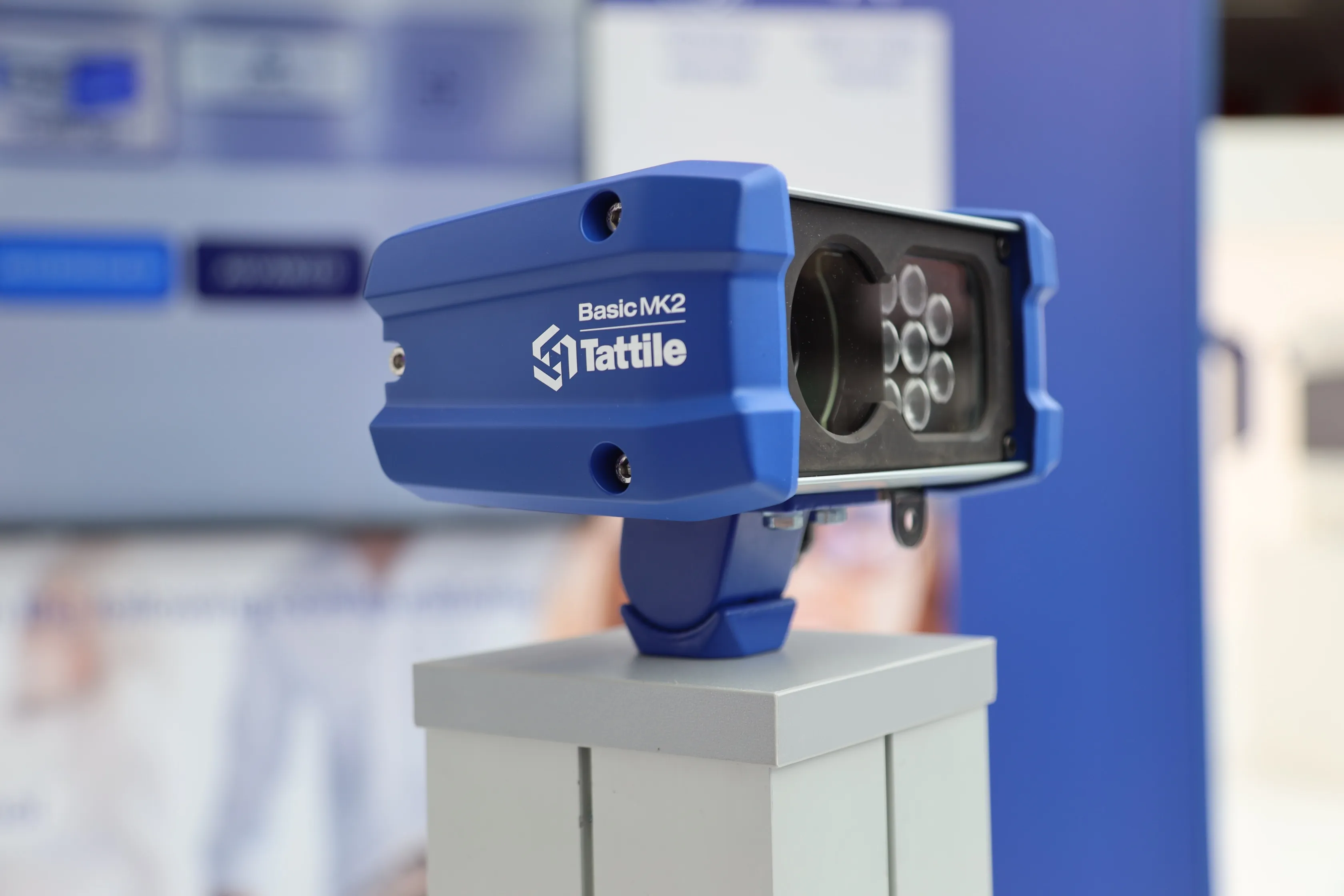
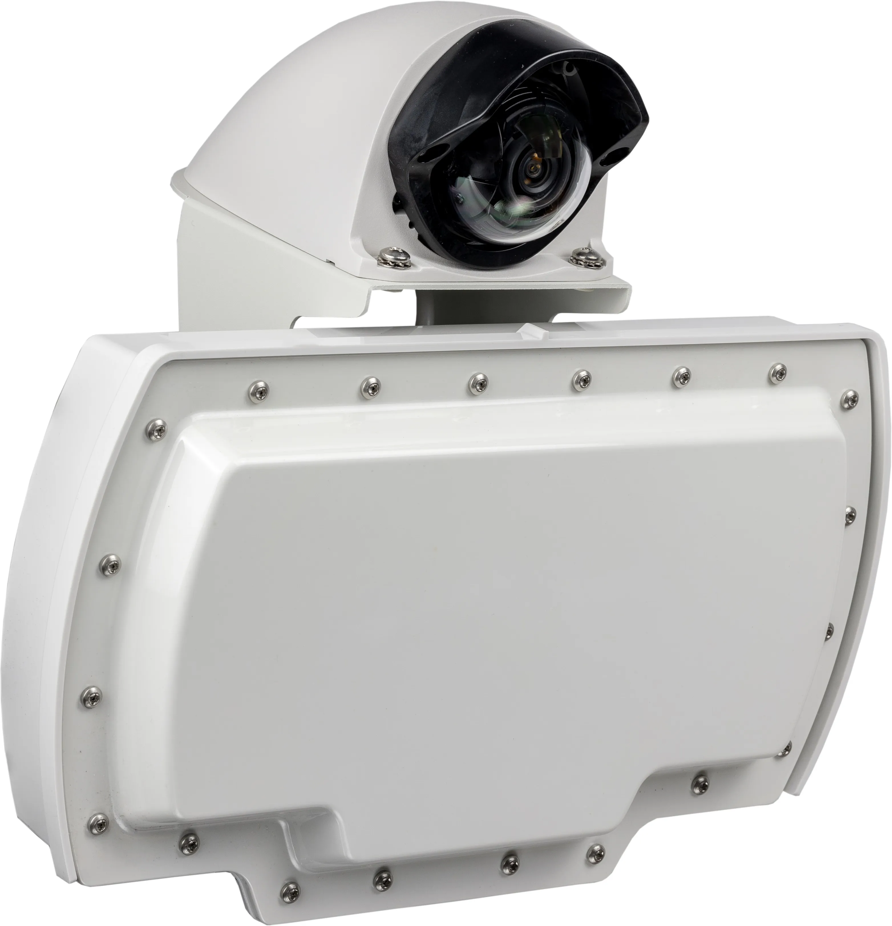
Sensys Networks says the newest addition to its portfolio - radar detection solution RTMS Echo - can identify and track individual vehicles across as many as 12 lanes per device.

The pole-mounted side-fire radar units are quick to install, and come with a browser-based interface, providing data which Sensys says will maximise existing infrastructure and "optimise the safety and efficiency of roadways".

With integrated Wi-Fi connectivity, RTMS Echo can be configured with a computer, tablet or smartphone. Traffic data includes vehicle counts, speeds, classifications, travel times and vehicle dwell times.

The solution came under Sensys' umbrella when parent company TagMaster bought the radar business of ISS earlier this year.

The company says it will offer traffic professionals greater accuracy, identifying and tracking individual vehicles with high precision, even in heavy traffic conditions.

This means cities "can monitor traffic flow, identify congestion hotspots, predict future traffic conditions and implement traffic management strategies". 

One RTMS Echo radar can monitor as many as 12 detection zones up to 250 feet away.

“Adding the accuracy of RTMS Echo radar to our detection portfolio is a natural fit with our highly accurate wireless and video detection technologies,” says Bill Weber, VP of Sales & Marketing in North America. 

“Now, with a full range of detection technologies, we can offer agencies and our partners more options to help save lives and reduce congestion.”

For more information on companies in this article

Related Content

  • Bridging the highway travel information gap
    March 14, 2012
    A new traffic management solution is attempting to bridge the gap in information available on freeways and arterial roadways. Andrew Bardin Williams reports. Agencies responsible for national networks of roads around the world have the ability to measure, analyse and disseminate accurate travel information to drivers. Millions of dollars go into data collection infrastructure to collect traffic congestion and travel time information on major freeways or highways. For example, a driver on the I-210 in the Lo
  • ALPR camera manoeuvres Tattile into parking space
    April 2, 2025
    Basic MK2 Varifocal is designed for parking and access control applications
  • TxDoT takes Command with Rekor
    June 6, 2025
    State-wide implementation for incident management platform used in Austin
  • Flir showcases new TrafiOne smart city wireless sensor
    June 3, 2016
    Flir Systems will be launching the Flir TrafiOne Smart City Sensor, an all-round detection sensor for traffic monitoring and dynamic traffic signal control. Offered in a compact and easy-to-install package, the system uses thermal imaging and wi-fi technology to provide traffic engineers with high-resolution data on vehicles, bicycles and pedestrians at intersections and in urban environments. The Flir TrafiOne sensor uses thermal imaging to detect the presence of pedestrians and cyclists who are approac