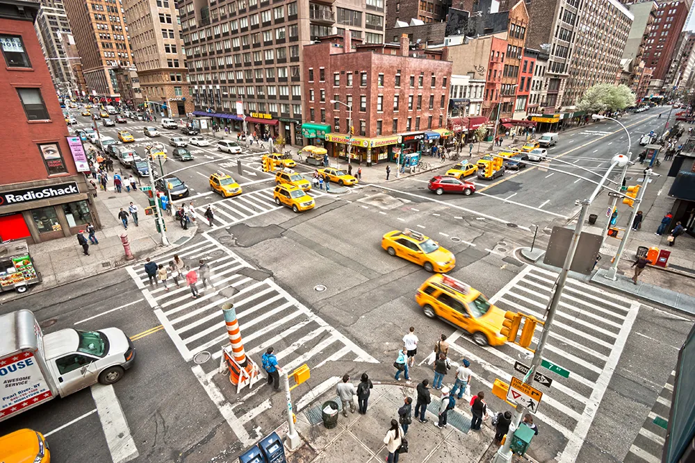
Via has released a report demonstrating how space for cars can be quickly turned into space for people in New York City (NYC).
Shovel-Ready NYC 25×25 Streets showcases five re-designed NYC streets that advocacy organisation Transportation Alternatives (TA) built using Via's Remix platform, a mapping solution for transportation planning.
TA executive director Danny Harris says: “75% of New York City’s streetspace is dedicated to the movement and storage of vehicles. It is time to imagine a better use of our streets that puts people, not cars, first.”
The selected corridors and their proposed re-designs include Atlantic Avenue (Brooklyn), Jerome Avenue at 167th Street, (the Bronx), 125th Street (Manhattan), Northern Boulevard at Union Street (Queens) and Midland Fields (Staten Island).
TA selected each site based on input from its members and by looking at data on crashes, injuries, fatalities, air pollution, tree cover, asthma rates and bus speeds. The organisation then developed site-specific redesigns of the corridors using feedback from local residents captured in Remix Streets, Via’s street design and mapping software. TA staff and volunteers also visited site locations to gather feedback from community members on their visions for each corridor.
Tiffany Chu, senior vice president at Via, says: “Remix Streets from Via’s planning suite of tools can help design the streets of tomorrow, and help cities, designers, engineers, and communities collaborate with the technology to see this through.”
“Right now, the challenges facing our streets are urgent, and we believe new ways of working, such as with Remix, will help supercharge plans to make streets better serve all,” Chu adds.
The report builds upon NYC 25×25, an initiative launched by TA in early 2021 challenging NYC leaders to convert 25% of space currently for cars into space for people by 2025.