
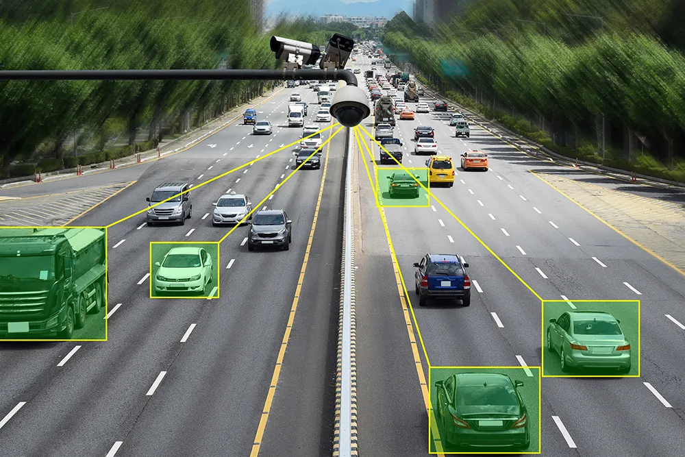
RTMS G4 being deployed for 2010 Winter Olympics

Image Sensing Systems (ISS) has provided RTMS G4 radars for traffic management on the Sea to Sky Highway for the 2010 Winter Olympic Games in Vancouver, Canada.
February 1, 2012 Read time: 1 min

6626 Image Sensing Systems (ISS) has provided RTMS G4 radars for traffic management on the Sea to Sky Highway for the 2010 Winter Olympic Games in Vancouver, Canada. The highway rises from the Strait of Georgia to Whistler Mountain where many Olympic events are to be held. 2014 Miller-Capilano is responsible for the operation of the highway and will use RTMS G4 to monitor traffic conditions, display speed-map representation of the highway and determine travel time for commuters.

According to Tom Cloutier, assistant operations manager of Miller-Capilano, “We needed a solution that was not intrusive to our highway operations. ISS was able to provide us with a proven solution that was cost effective and non-intrusive. It’s wireless component and accurate traffic reporting, in conjunction with the management software assured that we have the information for our operations and we can provide traveller information to third parties for the commuters.”

For more information on companies in this article

Related Content

  • Kistler bridges health data gap
    May 14, 2025
    Cloud-based software platform completes structural health monitoring package
  • Growing use of video monitoring in traffic management
    February 2, 2012
    The county-wide expansion of CCTV coverage in Florida Department of Transportation's District Four is detailed by Citilog's Eric Toffin
  • Teledyne Flir: here’s how to find the right ITS camera
    January 4, 2022
    From lighting to weather, there are so many elements which need to be taken into account when choosing a camera for ITS operations. Riana Sartori from Teledyne Flir offers a buyer’s guide
  • Inrix informs FHWA’s data improvements
    December 19, 2017
    Refinements in the data available from the US Federal Highway Administration will improve road management across America. David Crawford reports. In August 2017, the US Federal Highway Administration (FHWA) issued the first results from an upgraded version of its National Performance Management Research Data Set (NPMRDS). Developed to identify the locations and times of high congestion affecting traffic flows along America’s 259,000km (161,000 mile) national highway system, this is a key resource for sta