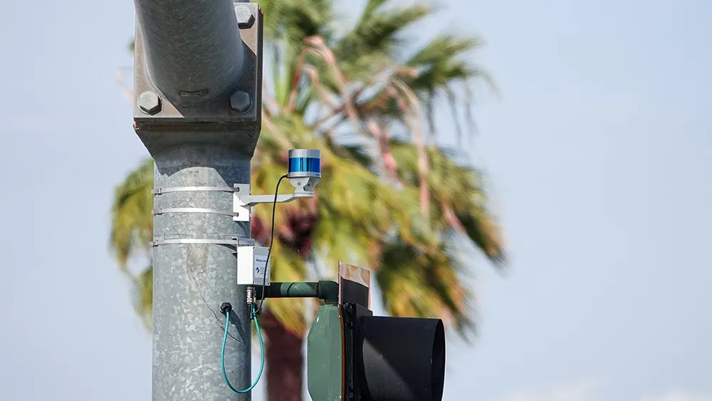
RTMS G4 being deployed for 2010 Winter Olympics

Image Sensing Systems (ISS) has provided RTMS G4 radars for traffic management on the Sea to Sky Highway for the 2010 Winter Olympic Games in Vancouver, Canada.
February 1, 2012 Read time: 1 min

6626 Image Sensing Systems (ISS) has provided RTMS G4 radars for traffic management on the Sea to Sky Highway for the 2010 Winter Olympic Games in Vancouver, Canada. The highway rises from the Strait of Georgia to Whistler Mountain where many Olympic events are to be held. 2014 Miller-Capilano is responsible for the operation of the highway and will use RTMS G4 to monitor traffic conditions, display speed-map representation of the highway and determine travel time for commuters.

According to Tom Cloutier, assistant operations manager of Miller-Capilano, “We needed a solution that was not intrusive to our highway operations. ISS was able to provide us with a proven solution that was cost effective and non-intrusive. It’s wireless component and accurate traffic reporting, in conjunction with the management software assured that we have the information for our operations and we can provide traveller information to third parties for the commuters.”

For more information on companies in this article

Related Content

  • When weather warnings get hyperlocal
    August 24, 2016
    David Crawford looks at new technologies to cope with the age-old problem of driving in bad weather. On the 10-year average, between 2005 and 2014 bad weather contributed to more than 1.5 million vehicle crashes in the US each year, resulting in more than 800,000 injuries and 7,400 deaths. These were the findings of analysis by Booz Allen Hamilton of NHTSA data which concluded that the loss of life, hospital treatment and damage to assets costs an annual average of $42bn.
  • IN FOCUS: What Lidar does next
    March 16, 2023
    Automotive, tolling, robotics – outside of traffic, road safety and autonomous vehicles, what applications will move the dial in terms of Lidar during 2023? Quite a few, finds Adam Hill
  • SDR a vital tool in assessing speed concerns
    March 23, 2012
    UK company Traffic Technology has supplied Surrey County Council with its SDR (speed detection radar) above ground vehicle classifier as part of the Drive Smart campaign, a partnership initiative involving Surrey County Council and Surrey Police that targets anti-social driving. Speeding was highlighted as the issue of greatest concern to local residents so all eleven boroughs or districts in Surrey have been supplied with at least two SDRs.
  • LiDAR sets its sights on future problems
    February 23, 2017
    AAdvances in LiDAR are helping transport authorities improve services and identify potential problem areas, as geospatial technology expert Dr Neil Slatcher explains. The effects of climate change on the transport infrastructure have long been a cause of concern within the transportation sector - and not only on the structures themselves but also on the surrounding areas. This year, those concerns have become reality with landslides, structural collapses and surfacing issues impacting services across the wo