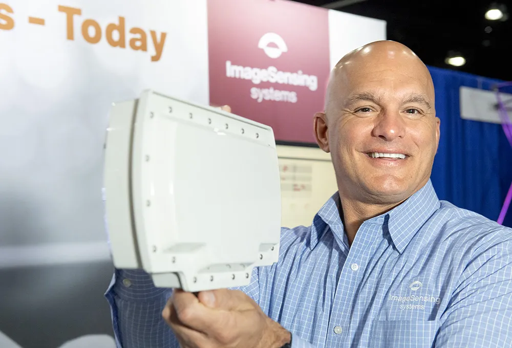
RTMS G4 being deployed for 2010 Winter Olympics

Image Sensing Systems (ISS) has provided RTMS G4 radars for traffic management on the Sea to Sky Highway for the 2010 Winter Olympic Games in Vancouver, Canada.
February 1, 2012 Read time: 1 min

6626 Image Sensing Systems (ISS) has provided RTMS G4 radars for traffic management on the Sea to Sky Highway for the 2010 Winter Olympic Games in Vancouver, Canada. The highway rises from the Strait of Georgia to Whistler Mountain where many Olympic events are to be held. 2014 Miller-Capilano is responsible for the operation of the highway and will use RTMS G4 to monitor traffic conditions, display speed-map representation of the highway and determine travel time for commuters.

According to Tom Cloutier, assistant operations manager of Miller-Capilano, “We needed a solution that was not intrusive to our highway operations. ISS was able to provide us with a proven solution that was cost effective and non-intrusive. It’s wireless component and accurate traffic reporting, in conjunction with the management software assured that we have the information for our operations and we can provide traveller information to third parties for the commuters.”

For more information on companies in this article

Related Content

  • RTMS Echo a resounding success for ISS in Florida
    September 20, 2022
    Image Sensing Systems has announced here in LA that it has deployed its RTMS Echo on the Suncoast Parkway, a 68-mile north-south toll road near the Florida Gulf Coast.
  • Underinvestment in infrastructure threatens economic growth
    January 24, 2012
    The 2011 Urban Mobility Report from the Texas Transportation Institute highlights the dangers of continued underinvestment in transportation infrastructure but also offers some hope in terms of possible solutions
  • Costing transit is complicated case
    August 19, 2015
    David Crawford welcomes fresh thinking from Canada. Public transit improvements can bring society “significantly more value” than conventional transport models normally indicate, argues Canadian researcher Todd Litman. “Traditional evaluation practices originally developed to assess roadway improvements, and focus primarily on vehicle travel speeds and operating costs. “They do not generally quantify or monetise basic mobility benefits, vehicle ownership and parking cost savings, or efficient land developme
  • Transportation applications move to machine vision’s mainstream
    June 11, 2015
    The adaptation of machine vision to transport applications continues apace. That the machine vision industry is taking traffic installations seriously is evident by the amount of hardware and software products tailor-made for ITS applications that are now available on the market. A good example comes from US-based Gridsmart Technologies which has developed a single wire fisheye camera that provides a horizon to horizon view for use at intersections. Not only does the single camera replace four or more in a