
PennDoT to help crews reserve workzones

Crews will be able to make a reservation to perform road work during off-peak hours
By Ben Spencer September 6, 2021 Read time: 2 mins
PennDoT will use data sources and tools to determine appropriate times to allow reservations (© ColleenMichaels | Dreamstime.com)

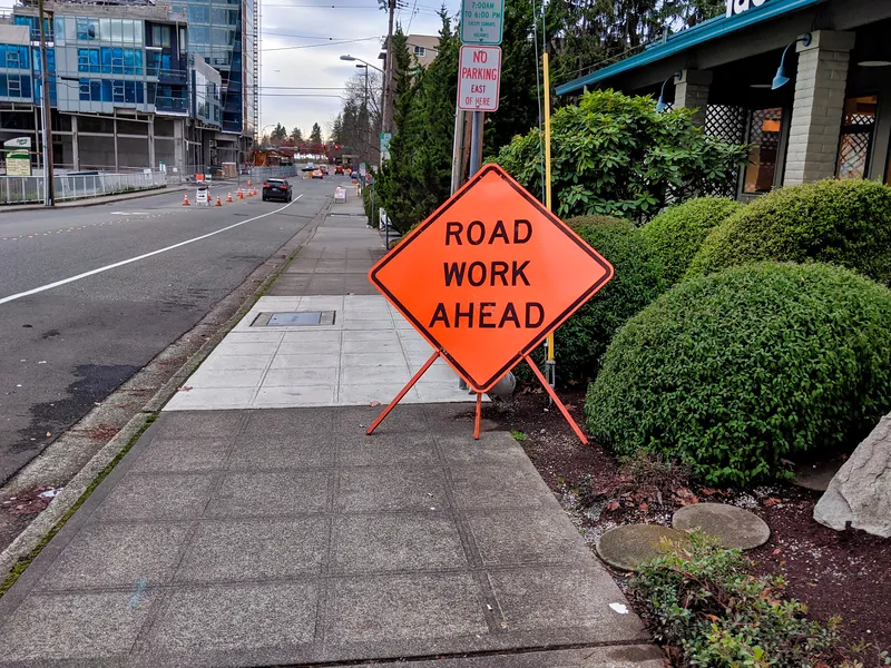
The Pennsylvania Department of Transportation (PennDoT) is to adopt a workzone reservation system to help minimise congestion while crews complete repairs to roads and bridges. 

When complete, the Lane Reservation System will be similar to making an online reservation at a restaurant in that it may provide an alternative slot at 4:30 pm or 9:00 pm if there is no availability at 7:00 pm.

For example, if a work crew wants to reserve a lane on Interstate 76 near King of Prussia at 5.00 pm on a Thursday night, they will find that reservations are not available.

However, the PennDoT says that they will be able to make a reservation to perform needed road work during off-peak hours as defined in the system.

The department will use various data sources and tools to determine the most appropriate times to allow workzone reservations. It will use the Freeval-PA analysis tool to identify and deploy the most effective workzone configurations.

According to the PennDoT, this approach will help ensure the safety of the workers, reduce congestion on major roadways, and eliminate conflicts between other workzones in the area. 

This information can then be shared with others through a standard data feed and will help traffic management centres do their jobs better, the department adds. 

The project will incorporate a number of preliminary documents and requirements developed in collaboration with the Pennsylvania Turnpike Commission.

The Lane Reservation System will be built on the platform PennDoT currently uses for command and control of intelligent transportation equipment. It will offer various ways to access the system, such as PennDoT's Road Condition Reporting System for internal staff as well as an app for those outside of its network.

The project is currently going through the final IT approval steps and is set to begin this September. Completion is expected by 2022.
 

For more information on companies in this article

Related Content

  • Special delivery: air quality data from DPD
    September 27, 2021
    Trinity College Dublin will absorb data from sensors on carrier's vans and on local buildings
  • Vaisala's RoadAI can optimise maintenance
    August 20, 2019
    Alerts for natural disasters are ones that most of us would rather do without, writes Adam Hill. But the ITS industry still needs help to deal with more common meteorological issues Google Maps has added SOS alerts to its service. For those of us more used to using the phone app to navigate from a metro station to an unfamiliar restaurant, this may seem extreme. But this is not what Google has in mind. Its SOS messages are for “hurricane forecast cones, earthquake shake-maps and flood forecasts”. That
  • USDoT pilots show win-win potential for connected vehicles
    December 19, 2017
    Pete Goldin discovers the state of play with connected vehicles trials in the US and the impact of Hurricane Irma on Tampa’s pilot. The US Department of Transportation’s (USDoT’s) connected vehicle (CV) pilot sites have moved into phase 2 of the deployment programme– design, build, test and, maybe most importantly, collaborate.
  • Illinois investing in smarter highways
    February 11, 2014
    Almost 1,000 highway deaths in Illinois in 2013 and some of the worst interstate traffic congestion in the country has prompted the state to launch a US$45 million trial to investigate whether a blend of technologies can make smarter highways which are safer for drivers and less prone to congestion. Traffic engineers are focusing initially on the Edens Expressway and the northern stretch of US Highway 41 and will begin incorporating a mix of existing and new technology during the next two years, an under