Two North Carolina Department of Transportation (NCDoT) departments have combined to deploy tethered drones from select patrol vehicles to assist with overall traffic management during incidents.
The combination of the statewide Incident Management Assistance Patrol (IMAP) programme and the Division of Aviation's Unmanned Aircraft System programme is expected to provide situational awareness to the NCDoT Statewide Transportation Operations Center (STOC) and Traffic Management centres (TMCs).
State traffic operations engineer Dominic Ciaramitaro says: “Along our interstates, where our IMAP patrols operate, there are gaps in camera coverage, so we don't have perfect situational awareness. Our tethered drones will help us fill those gaps."
The NCDoT says traffic operations staff traditionally view video feeds at the STOC/TMC through traffic cameras or they receive reports from responders in the field.
According to the department, tethered drones safely offer another method to provide more information in real time, with higher quality video, and for long periods of time.
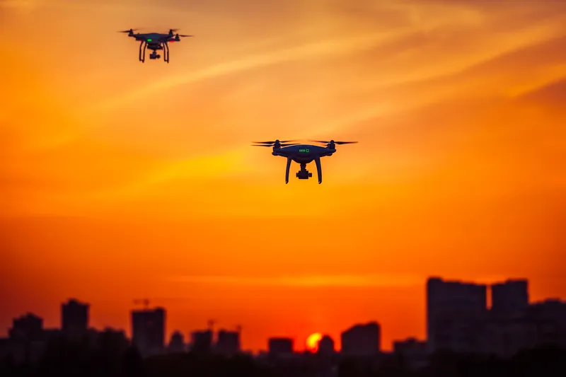
The tethered drones will serve as a resource in the toolkit of IMAP trucks, which are equipped with specialised tools to assist stranded motorists or scene management with first responders. The drone can fly up to 150 feet to take video and livestream it to the STOC/regional TMC as well as to emergency management personnel at the incident.
This information can provide a safer environment for those on scene or approaching an incident and allow the centres to better manage traffic and share more accurate traveller information to the public, the NCDoT adds.
The IMAP team has two drone systems they will be testing as part of the pilot. In an initial operation, IMAP used a drone to survey a crash near the US 13 and Interstate 95 interchange in Fayetteville where it was in the air for nearly five continuous hours.
IMAP is supported statewide by NCDoT's Traffic Operations section, which is part of the transportation systems management and operations unit. The Division of Aviation advised and supported the unit with procuring, testing and training of the tethered drone systems as part of its work to expand beneficial drone use across NCDoT. The department's traffic operations section will consider future deployment of tethered drones upon completion of the pilot's evaluation.