Iteris releases ClearMobility Cloud

New mobility solution works with ClearMobility Platform and third-party cloud systems
By Adam Hill January 29, 2021 Read time: 2 mins
Iteris says ClearMobility Cloud will create operating efficiencies (© Punnarong Lotulit | Dreamstime.com)

Iteris has launched the ClearMobility Cloud, an open-architecture cloud framework for the management of smart mobility infrastructure.

It works with Iteris’ ClearMobility Platform and includes a mobility data management engine which takes in sensor data from millions of connected vehicles and the company's own smart sensors at intersections across North America.

This data forms part of Iteris' Software as a Service (SaaS)-based solutions which are used by transportation agencies to manage operations.

The company says ClearMobility Cloud's application programming interface (API) framework and microservices ecosystem provide standardised data ingestion, cleansing and analytics, as well as authentication and security for each component of Iteris’ ClearMobility Platform.

The company recently bought mobility software specialist TrafficCast in a $16m deal, in part to enhance the ClearMobility Platform's capabilities.

Iteris CEO Joe Bergera says the addition of the new solution will "drive breakthrough innovations in smart mobility infrastructure management" and generate operating efficiencies.

“The ClearMobility Cloud enables the seamless interoperability, configuration and deployment of Iteris’ SaaS-based mobility intelligence solutions and other third-party cloud-based applications to virtualise the delivery of essential smart mobility infrastructure processes."

The initial release of the ClearMobility Cloud includes a unified portal that means users can access multiple Iteris software applications for easy navigation between modules within Iteris’ ClearGuide transportation performance measures solution.

The release also facilitates integration between ClearGuide and the Iris open-source advanced traffic management system, enabling ClearGuide to provide real-time travel time data to Iris to update variable message signs (VMS) through work zones, and overlay VMSs on ClearGuide’s real-time maps. 

Iteris concludes: "The ClearMobility Platform applies cloud computing, artificial intelligence, advanced sensors, advisory services and managed services to help ensure roads are safe, travel is efficient, and communities thrive."

For more information on companies in this article

Related Content

  • New approach to data handling aids development of smarter cities
    January 11, 2013
    David Crawford has been to the Irish capital to see a potent memorandum of understanding at work. An imaginative collaboration between the world’s largest IT company and one of Europe’s smaller capital cities is demonstrating a new approach to data handling that could have far reaching implications for urban public transport worldwide. A close working relationship between IBM and Dublin City Council (DCC) dates from 2010. The IT giant was looking for a local transport authority as partner for testing IBM’s
  • New approach to data handling aids development of smarter cities
    January 14, 2013
    David Crawford has been to the Irish capital to see a potent memorandum of understanding at work. An imaginative collaboration between the world’s largest IT company and one of Europe’s smaller capital cities is demonstrating a new approach to data handling that could have far reaching implications for urban public transport worldwide. A close working relationship between IBM and Dublin City Council (DCC) dates from 2010.
  • Multi-technology sensor fusion comes into focus
    July 30, 2025

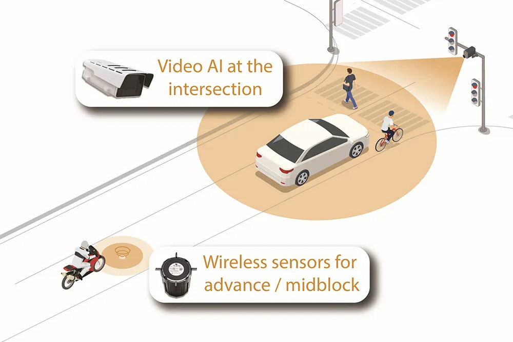
    The future of intelligent transportation is arriving at this year’s Congress with the launch of Sensys Networks’ MultiSens Intersection. This is a practical advancement in traffic detection that merges video AI and wireless sensors into a single, unified platform for signal actuation and traffic analysis. Sensys Networks innovative system delivers true sensor fusion, offering unparalleled insights into traffic flow.

  • Toyota enters partnership to build HD maps for AVs from space
    May 3, 2019
    Toyota Research Institute-Advanced Development (TRI-AD), technology company Maxar Technologies and NTT Data are working together to build high-definition (HD) maps for autonomous vehicles (AV) using satellite imagery. TRI-AD carried out an analysis, saying that current HD maps cover less than 1% of the global road network and there is a need to broaden the coverage of urban areas and local roads before AVs can become a mainstream mobility technology. A HD map created from satellite imagery would all