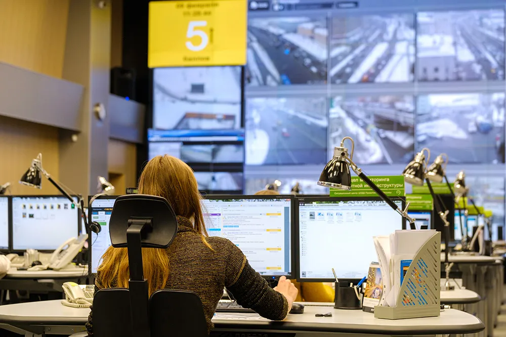
The UK Highways Agency is trialling a system to add commercially available traffic data to its existing sources to monitor traffic flow on England’s motorways and strategic roads. Similar data sources are already used by satellite navigation devices, smartphones, and applications like Google maps.
The system uses data that comes mostly from vehicle tracking devices installed by fleet operators, and a proportion from mobile sat-nav type devices, including smartphone traffic applications where the user has
September 24, 2013
Read time: 2 mins
The 1841 UK Highways Agency is trialling a system to add commercially available traffic data to its existing sources to monitor traffic flow on England’s motorways and strategic roads. Similar data sources are already used by satellite navigation devices, smartphones, and applications like Google maps.
The system uses data that comes mostly from vehicle tracking devices installed by fleet operators, and a proportion from mobile sat-nav type devices, including smartphone traffic applications where the user has opted in to making their anonymous location data available.
A different technology has been successfully trialled on the M25 and its feeder to measure journey times. Improving reliability is a Highways Agency priority and this new system, which uses anonymous location data from mobile devices, provides accurate data which will inform the planning of future measures to reduce congestion.
In both cases before any information is received by the Highways Agency it is processed to ensure the anonymity of road users. No individual person, vehicle or device, can be identified as only data relating to traffic levels on the road is provided.
Simon Sheldon-Wilson, Highways Agency traffic management director, said: “We are committed to reducing congestion and improving journey time reliability on the strategic road network. These new sources of data will strengthen the information we receive about traffic conditions.”
The Highways Agency says better real-time data will allow staff to respond more quickly to incidents and identify delays and communicate them to drivers so they can take alternative routes if necessary. Control rooms currently collect data from cameras and in-road sensors; however, if an incident happens out of camera shot or if the traffic does not queue back to one of the sensor locations, control room staff don’t have a full picture of the problem and there can be delays responding.
“This new approach would allow us to work with GPS data which will give us the most accurate and comprehensive data set to manage traffic flow and clear up incidents as quickly as possible,” says Sheldon-“Wilson.
“The information used for the M25 scheme is historic, not immediate, but will help us develop improvements targeted to reduce congestion and improve reliability.”


