Image Sensing Systems offers accurate Bluetooth vehicle detection

Image Sensing Systems’ RTMS Sx-300 is a small roadside pole-mounted radar operating in the microwave band. It combines the company’s RTMS radar with a Bluetooth sensor for incident detection, travel time calculation and origin/destination information.
November 13, 2015 Read time: 1 min

6626 Image Sensing Systems’ RTMS Sx-300 is a small roadside pole-mounted radar operating in the microwave band. It combines the company’s RTMS radar with a Bluetooth sensor for incident detection, travel time calculation and origin/destination information.

The integrated sensor detects Bluetooth signals from vehicles, hands-free sets, mobile phones and navigation systems and provides per-lane presence as well as volume, occupancy, speed and classification information in up to 12 user-defined detection zones. Output information is via serial communication, while Bluetooth information is available via TCP/IP.

According to ISS, a single radar can replace multiple inductive loop detectors.

For more information on companies in this article

Related Content

  • ISS introduces Cyclescope bicycle detection feature
    October 6, 2015
    Image Sensing Systems is using the ITS World Congress to introduce Cyclescope, the new bicycle differentiation and detection feature in the Autoscope software suite. According to the company, the new feature enhances bicycle detection capability and adds the ability to differentiate between bicycles and motorised vehicles as they approach the junction. A significant advantage is that it doesn’t require additional roadway markings, product purchases, equipment installations or maintenance.
  • Telvent Total View weather info system
    January 17, 2012
    Telvent has announced an important expansion of its weather information systems and forecast services with the launch of Telvent Total View - a comprehensive solution that takes advantage of distributed multi-nodal platform controls integrated via cloud computing. It efficiently collects the weather measurements users specify and combines them, through the secure computing cloud, with forecasts and operational data from clients' enterprise-level platforms.
  • Florida gets One.network’s lane closure programme
    August 24, 2022
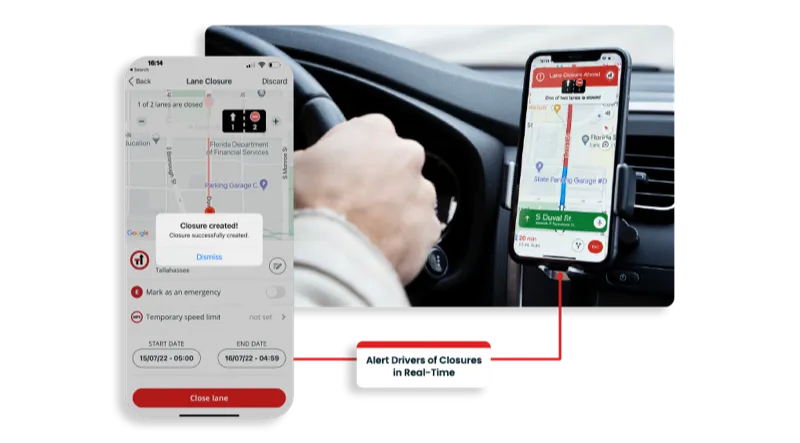
    The project will use proprietary shared road management platform that connects with GPS providers
  • Ford Research looking to help drivers manage stressful situations on the road
    June 28, 2012
    Engineers in the Ford Research and Innovation labs are developing ways to help the driver stay focused in busy situations by intelligently managing incoming communications. Data from the sensing systems of driver-assist technologies can be used to determine the amount of external demand and workload upon a driver at any given time including traffic and road conditions. In addition, Ford continues its health and wellness research with the development of a biometric seat, seat belt and steering wheel that can