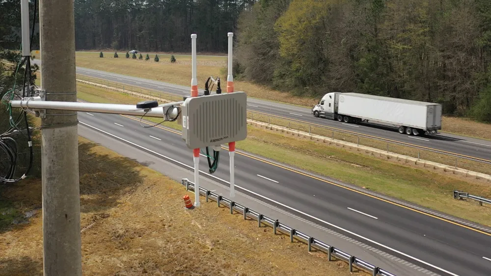
The Danish city of Aarhus is using the anonymous data from drivers’ Bluetooth-enabled cell phones and GPS systems to assist them in reducing traffic congestion.
Using Blip Systems’ technology and placing the small sensors in the road network, the road authorities can obtain traffic flow data in real time and proactively manage the road network to minimise delays and congestion.
October 10, 2013
Read time: 1 min
The Danish city of Aarhus is using the anonymous data from drivers’ Bluetooth-enabled cell phones and GPS systems to assist them in reducing traffic congestion.
Using3778 Blip Systems’ technology and placing the small sensors in the road network, the road authorities can obtain traffic flow data in real time and proactively manage the road network to minimise delays and congestion.
The municipality started the project in 2011 and currently has nearly 40 sensors installed on the ring road, says project manager Michael Bloksgaard. He expects that when the BlipTrack solution is fully implemented by the end of the year, around 120 sensors will have been implemented.
According to Blip Systems, the solution has helped to optimise out-of-sync intersections and the roads administration has been able to record a reduction of 20 per cent in travel times on the ring road.
Using
The municipality started the project in 2011 and currently has nearly 40 sensors installed on the ring road, says project manager Michael Bloksgaard. He expects that when the BlipTrack solution is fully implemented by the end of the year, around 120 sensors will have been implemented.
According to Blip Systems, the solution has helped to optimise out-of-sync intersections and the roads administration has been able to record a reduction of 20 per cent in travel times on the ring road.


