Here speeds to road users' assistance

Here ISA Map designed to help automakers comply with new EU regs on safety and emissions
By Ben Spencer November 1, 2021 Read time: 2 mins
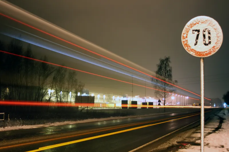
Here says the map provides speed limit irrespective of environmental conditions (© Vitalijs Barisevs | Dreamstime.com)

Here Technologies has released a map which it says delivers accurate speed limit information on any road. 

The Here ISA Map is designed to help automakers to comply with requirements under the European Union’s (EU) new Intelligent Speed Assistance (ISA) regulation aimed at road safety and reducing carbon dioxide emissions.

The ISA regulation is part of the EU’s new General Safety Regulation for motor vehicles, planned to become mandatory for all new-model cars, vans, trucks, and buses in July 2022 and for all new vehicles sold in the EU in 2024.

The company insists its map provides speed limit irrespective of environmental conditions, which is particularly important in situations that are challenging for on-board camera-only ISA solutions. 

These include speed limits that are not signposted on urban roads and metropolitan areas as well as border speed limit rule changes based on country level requirements. 

The Here ISA Map contains explicit speed limits visible on road signs as well as implicit speed limits derived from road signs without numerical values and speed limits that are defined by road rules and regulations.

The solution also has speed limits that are defined by rules and regulations, including national or regional speed limits and conditional rules. 

These are typically not signposted and therefore not detectable by on-board cameras, the company adds. 

Sheila Nedelcu, senior director, automotive product management at Here, says: “The Here ISA Map focuses on supporting driver safety by ensuring they always have accurate speed limit information, including conditional limits and non-posted signs.”

The Here ISA Map is available as a standalone map for simpler ISA solutions and smaller vehicle segments.

The same map attribute set is also included in the Here ADAS Map that contains additional geospatial content for lane keeping and adaptive cruise control for more advanced driver assistance feature sets.

Available publication formats include RDF for customers who use their own compilation into a proprietary format, NDS.Classic for customers following an onboard map approach and NDS.Live map services for highly connected vehicles.
 

For more information on companies in this article

Related Content

  • Vehicle data translator for road weather monitoring
    February 1, 2012
    Sheldon Drobot, Michael Chapman and Amanda Anderson, NCAR, and Paul Pisano, FHWA, detail latest results of testing of a vehicle data translator for road weather monitoring and information applications. The use of vehicle sensor data to improve weather and road condition products, envisioned as part of the US Department of Transportation Research and Innovative Technology Administration's (RITA's) IntelliDriveSM initiative, could revolutionise the provision of road weather information to transportation syste
  • Signalised intersections are about to have their ‘Napster moment’, says Miovision
    April 20, 2023
    Miovision CEO Kurtis McBride provides the background to the launch of Miovision One, the foundation of an operating system for the modern intersection
  • Debating the future of in-vehicle systems
    December 6, 2012
    Industry experts talk to Jason Barnes about the legislative situation of current and future in-vehicle systems. Articles about technology development can have a tendency to reference Moore’s Law with almost indecent regularity and haste but the fact remains that despite predictions of slow-down or plateauing, the pace remains unrelenting. That juxtaposes with a common tendency within the ITS industry: to concentrate on the technology and assume that much else – legislation, business cases and so on – will m
  • Xerox counts on machine vision for high occupancy enforcement
    October 29, 2014
    Machine vision techniques can provide solutions to some of the traffic planners most enduring problems With a high proportion of cars being occupied by the driver alone, one of the easiest, most environmentally friendly and cheapest methods of reducing congestion is to encourage more people to travel in each vehicle. So to persuade people to share rides, high occupancy lanes were devised to prioritise vehicles with (typically) three of more people on board and in some areas these vehicles are exempt from