Here speeds to road users' assistance

Here ISA Map designed to help automakers comply with new EU regs on safety and emissions
By Ben Spencer November 1, 2021 Read time: 2 mins
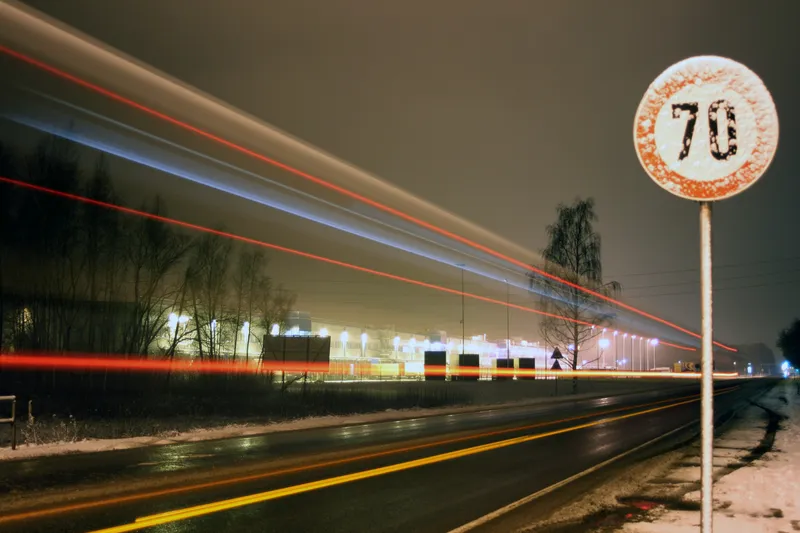
Here says the map provides speed limit irrespective of environmental conditions (© Vitalijs Barisevs | Dreamstime.com)

Here Technologies has released a map which it says delivers accurate speed limit information on any road. 

The Here ISA Map is designed to help automakers to comply with requirements under the European Union’s (EU) new Intelligent Speed Assistance (ISA) regulation aimed at road safety and reducing carbon dioxide emissions.

The ISA regulation is part of the EU’s new General Safety Regulation for motor vehicles, planned to become mandatory for all new-model cars, vans, trucks, and buses in July 2022 and for all new vehicles sold in the EU in 2024.

The company insists its map provides speed limit irrespective of environmental conditions, which is particularly important in situations that are challenging for on-board camera-only ISA solutions. 

These include speed limits that are not signposted on urban roads and metropolitan areas as well as border speed limit rule changes based on country level requirements. 

The Here ISA Map contains explicit speed limits visible on road signs as well as implicit speed limits derived from road signs without numerical values and speed limits that are defined by road rules and regulations.

The solution also has speed limits that are defined by rules and regulations, including national or regional speed limits and conditional rules. 

These are typically not signposted and therefore not detectable by on-board cameras, the company adds. 

Sheila Nedelcu, senior director, automotive product management at Here, says: “The Here ISA Map focuses on supporting driver safety by ensuring they always have accurate speed limit information, including conditional limits and non-posted signs.”

The Here ISA Map is available as a standalone map for simpler ISA solutions and smaller vehicle segments.

The same map attribute set is also included in the Here ADAS Map that contains additional geospatial content for lane keeping and adaptive cruise control for more advanced driver assistance feature sets.

Available publication formats include RDF for customers who use their own compilation into a proprietary format, NDS.Classic for customers following an onboard map approach and NDS.Live map services for highly connected vehicles.
 

For more information on companies in this article

Related Content

  • In-vehicle vision-based systems and autonomous vehicles
    January 11, 2013
    The Artificial Vision and Intelligent Systems Laboratory (VisLab) of Italy’s Parma University has built itself a fine pedigree in basic and applied research which has developed machine vision algorithms and intelligent systems for the automotive field. In 1998, a VisLab-equipped Lancia Thema named ‘Argo’ travelled along the famous Mille Miglia race route and completed 98 per cent of it autonomously using then-current technology. In 2005, VisLab provided the vision element of the Terramax, a collaborative un
  • Does enforcement merit a place in the EU's ITS action Plan?
    February 3, 2012
    Colin Wilson, IBI Group, looks at the implications for enforcement of the European Commission's new Action Plan for the Deployment of ITS in Europe
  • Integrating traffic management and tolling technologies
    April 25, 2013
    Jamie Surkont, head of road safety enforcement with Kapsch, outlines the company’s efforts to set up and align new traffic management business units with its more widely recognised tolling expertise The blurring of ITS applications’ edges brought about by systems’ increasing functionalities will ensure that many of the technologies which we have come to rely on for road and traffic management will find it increasingly difficult to exist or operate within tight market verticals. At the same time, systems man
  • TomTom launches speed cameras service in Brazil
    March 12, 2014
    TomTom’s speed cameras service is now available in Brazil. The company has worked with MapaRadar to enhance the service, which will be delivered directly to devices as a hosted service, or via a server-to-server bulk feed. Drivers will benefit from up-to-date warnings of nearby fixed and red light cameras, as well as speed enforcement zones. Car manufacturers can easily integrate the world-class service in their in-dash and mobile navigation systems. Backed by OpenLR, the open standard for "procedure