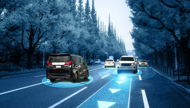
Here Technologies has released a map which it says delivers accurate speed limit information on any road.
The Here ISA Map is designed to help automakers to comply with requirements under the European Union’s (EU) new Intelligent Speed Assistance (ISA) regulation aimed at road safety and reducing carbon dioxide emissions.
The ISA regulation is part of the EU’s new General Safety Regulation for motor vehicles, planned to become mandatory for all new-model cars, vans, trucks, and buses in July 2022 and for all new vehicles sold in the EU in 2024.
The company insists its map provides speed limit irrespective of environmental conditions, which is particularly important in situations that are challenging for on-board camera-only ISA solutions.
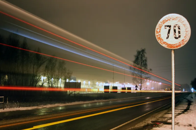
These include speed limits that are not signposted on urban roads and metropolitan areas as well as border speed limit rule changes based on country level requirements.
The Here ISA Map contains explicit speed limits visible on road signs as well as implicit speed limits derived from road signs without numerical values and speed limits that are defined by road rules and regulations.
The solution also has speed limits that are defined by rules and regulations, including national or regional speed limits and conditional rules.
These are typically not signposted and therefore not detectable by on-board cameras, the company adds.
Sheila Nedelcu, senior director, automotive product management at Here, says: “The Here ISA Map focuses on supporting driver safety by ensuring they always have accurate speed limit information, including conditional limits and non-posted signs.”
The Here ISA Map is available as a standalone map for simpler ISA solutions and smaller vehicle segments.
The same map attribute set is also included in the Here ADAS Map that contains additional geospatial content for lane keeping and adaptive cruise control for more advanced driver assistance feature sets.
Available publication formats include RDF for customers who use their own compilation into a proprietary format, NDS.Classic for customers following an onboard map approach and NDS.Live map services for highly connected vehicles.