As part of a growing effort to use technology to manage traffic on roads and highways without building more roads, for the last six months Florida’s Palm Beach County has been using Bluetooth readers to determine how long it takes motorists to travel along its corridors. "We're adding more capacity through technology rather than asphalt," said Dan Weisberg, Palm Beach County's traffic engineer. "We can't build ourselves out of congestion. We need to be smarter about what we have and manage it." In collabor
As part of a growing effort to use technology to manage traffic on roads and highways without building more roads, for the last six months Florida’s Palm Beach County has been using Bluetooth readers to determine how long it takes motorists to travel along its corridors.
"We're adding more capacity through technology rather than asphalt," said Dan Weisberg, Palm Beach County's traffic engineer. "We can't build ourselves out of congestion. We need to be smarter about what we have and manage it."
In collaboration with the4503 Florida Department of Transportation (FDOT), Weisberg and his colleagues are conducting experiments on major east-west corridors in central Palm Beach County to help improve traffic flow whenever there's an accident or road construction. The experiments are currently limited to three roads in the county, but will be expanded to three others by September.
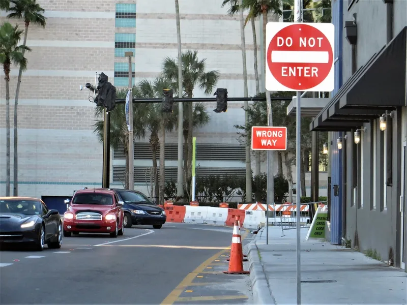
Based in Palm Beach County's intelligent transportation system (ITS) centre, a combination of traffic cameras, computer programs and devices that detect travel times and speed are giving traffic engineers quick access to data that allows them to make immediate changes to traffic signal timing to break up traffic jams.
Bluetooth wireless technology allows data swapping over short distances, but the readers pick up only a portion of the unique numerical address emitted by a Bluetooth device.
The readers are installed at various points along the corridors, and traffic engineers receiving data from the readers calculate average travel times between specific points.
If those travel times start to increase significantly, engineers at the traffic management can monitor the problem via signal-mounted cameras and make adjustments to the timing of the traffic signals to improve traffic flow.
The next part of the experiment is to install devices that monitor the speed and volume of traffic to allow traffic engineers to detect increases in traffic volume and make adjustments before the speed of traffic degrades significantly.
Most of Palm Beach County's traffic signals are connected by a fiber optic network with data flowing to the county's ITS centre. By the end of this year, 75 percent of the county's traffic signals will be online, as well as 110 traffic monitoring cameras.
"We're adding more capacity through technology rather than asphalt," said Dan Weisberg, Palm Beach County's traffic engineer. "We can't build ourselves out of congestion. We need to be smarter about what we have and manage it."
In collaboration with the
Based in Palm Beach County's intelligent transportation system (ITS) centre, a combination of traffic cameras, computer programs and devices that detect travel times and speed are giving traffic engineers quick access to data that allows them to make immediate changes to traffic signal timing to break up traffic jams.
Bluetooth wireless technology allows data swapping over short distances, but the readers pick up only a portion of the unique numerical address emitted by a Bluetooth device.
The readers are installed at various points along the corridors, and traffic engineers receiving data from the readers calculate average travel times between specific points.
If those travel times start to increase significantly, engineers at the traffic management can monitor the problem via signal-mounted cameras and make adjustments to the timing of the traffic signals to improve traffic flow.
The next part of the experiment is to install devices that monitor the speed and volume of traffic to allow traffic engineers to detect increases in traffic volume and make adjustments before the speed of traffic degrades significantly.
Most of Palm Beach County's traffic signals are connected by a fiber optic network with data flowing to the county's ITS centre. By the end of this year, 75 percent of the county's traffic signals will be online, as well as 110 traffic monitoring cameras.