
Iteris makes moves on Seattle & Baton Rouge

ClearGuide SaaS solution and Vantage Vector detection system are at heart of new deals
By Adam Hill June 21, 2022 Read time: 2 mins
The Baton Rouge deal will involve 200 intersections across the city (© Pk7comcastnet | Dreamstime.com)

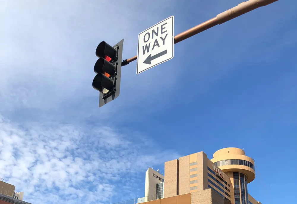
Iteris has won US traffic contracts in Seattle, Washington and Baton Rouge, Louisiana.

Seattle Department of Transportation (SDoT) will use Iteris' ClearGuide Software as a Service (SaaS) solution to visualise traffic data and analysis to improve mobility, safety and sustainability for Seattle road users.

SDoT is using ClearGuide features, including dynamic maps to support detailed traffic analysis; features to help identify and mitigate congestion; animations to analyse events and optimise response plans; and historical trend reports and dynamic congestion charts.

It will also use APIs to share this information with other tools, and populate the travel times on the dynamic messaging signs of SDoT and partner agencies, including Washington State DoT.

Iteris will deliver its ClearGuide arterial performance measures (APM) and highway performance measures (HPM) modules, as well as its Speeding Analytics module, to understand how traffic movements impact on various roads and to identify regional speeding hotspots before crashes occur.

“We are thrilled to be able to support SDoT’s goal of better managing its transportation network by providing critical mobility intelligence for arterials, highways and citywide speeding hotspots,” said Scott Perley, vice president, customer experience and analytics at Iteris. 

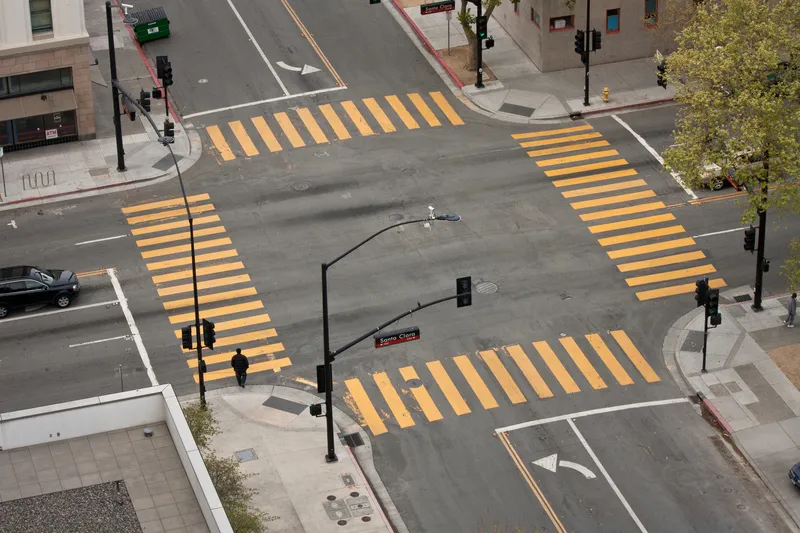
Separately, Iteris has also been awarded a $3.2 million contract by the City of Baton Rouge to upgrade over 200 key signalised intersections - almost 50% of signalised intersections in the city - to improve traffic flow, safety and sustainability.

Iteris’ Vantage Vector hybrid video and radar detection systems allows the city to differentiate between vehicles, bicyclists and pedestrians "to improve traffic flow and safety for all road users, while saving money", the firm says.

The upgrades will enable the city to adjust traffic signal timing to accommodate slower-moving road users, and minimise congestion and delays, as well as reducing the risk of collisions.

The Vantage Vector system has high-precision radar sensing technology that enables red-light running safety applications, and is part of the ClearMobility platform.

Mike Falcon, traffic engineer at the City of Baton Rouge, says: "By using Iteris’ detection systems, we are providing road users throughout the city with improved safety and increased mobility at the intersection, while improving air quality by reducing emissions."

For more information on companies in this article

Related Content

  • Highways Agency trials new traffic monitoring technology
    September 24, 2013
    The UK Highways Agency is trialling a system to add commercially available traffic data to its existing sources to monitor traffic flow on England’s motorways and strategic roads. Similar data sources are already used by satellite navigation devices, smartphones, and applications like Google maps. The system uses data that comes mostly from vehicle tracking devices installed by fleet operators, and a proportion from mobile sat-nav type devices, including smartphone traffic applications where the user has
  • Iteris wins $1.4 million signal system management project
    November 6, 2014
    Iteris is to serve as system manager for the deployment of the City of Omaha’s Intelligent Transportation System (ITS). The US $1.4 million project builds upon Omaha’s Traffic Signal System Master Plan, developed by Iteris in 2012, and will include the management of Omaha’s $35 million ITS upgrade program to reduce congestion. As system manager, Iteris will oversee the enhancements to the transportation network, focusing on more than 1,000 traffic signals and 4,500 miles of roadway in the city. Iteris’ r
  • Machine vision takes ITS further than the eye can see
    January 5, 2016
    Vitronic’s John Yalda looks at how machine vision has become an integral part of many ITS deployments and why it complements, rather than replaces, ANPR. New and conventional business concepts like online shopping and mail order business are becoming more established in the cultures of fast-growing economies and increasing the demand for flexibility in the freight transportation and logistics industry. Road transport has become the preferred infrastructure for freight forwarding and several studies predict
  • A real-world view from Geotab
    April 23, 2024
    Geotab ITS Altitude Platform – one of four solutions you can see at the Geotab booth 1353 – delivers millions of connected vehicle insights for smarter city and state planning and operations. Based on observed, real-world journeys instead of modeled representations, the product helps agencies understand contextualized people and goods movement behaviors.