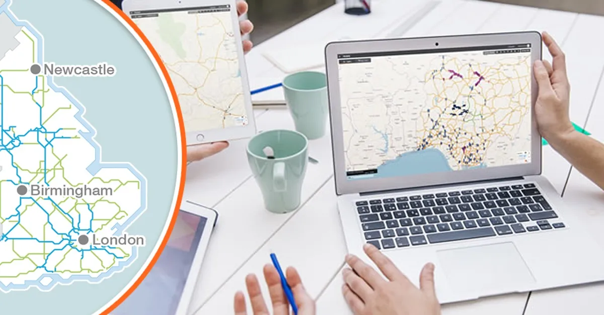
Estonia's Tallinn Transport Department has developed a digital transport model to help predict the mobility needs of the population and make urban transport planning more efficient.
Deputy mayor of Tallinn Andrei Novikov describes the transport model as a digital tool that brings together all available data to help us understand how and when people move around Tallinn.
“It can help us predict transport problems and understand their causes, and enables to make decisions that support the city's holistic development as well as anticipate the impact of those decisions,” he says.
“It is not an survey for a specific project but rather a permanent internal analytical tool that can be used to assess the feasibility and traffic impact of all major infrastructure investments.”
According to Novikov, the model helps assess the different needs of people in each area.
“For example, the traffic simulations in the model can be used to make decisions on the capacity needs of specific streets or on upgrading the city's public transport network,” Novikov adds.
The model will be used for transport planning, including traffic management and upgrading the public transport network.
The city says the solution can be used to assess the need for development of public transport systems as well as the impact of development areas on transport infrastructure in general.
The tool is expected to incorporate continuously updated data for 130,000 road sections in the capital, and take into account the movements of private cars, public transport vehicles, lorries and pedestrians.
It can be used to distinguish between 12 different types of road users, including students, commuters with and without cars, and pensioners from Tallinn and elsewhere in Harju County, the city adds.
Additionally, the model provides an additional way of testing and analysing scenarios in transport planning, including public transport.
For instance, it enables users to predict changes in traffic on other major roads in case traffic on one of the city's main roads should be temporarily blocked or closed. The product can be used to identify why congestion occurs in a specific place, or what rearrangements are needed to reduce inconveniences caused by road works, or how major national road works around Tallinn will affect traffic within the city.
PTV procured the software of the transport. The model incorporates all the mobility data available to the city, including the results of social surveys carried out in the city over the last five years as well as the road network and traffic frequencies.


