
Vodafone tests vehicle tracking tech 

IoT platform can help autonomous trucks improve interaction with other road users
By Ben Spencer February 19, 2021 Read time: 2 mins
Vodafone says it can track vehicles within 10cm of its location (© Sompong Sriphet | Dreamstime.com)

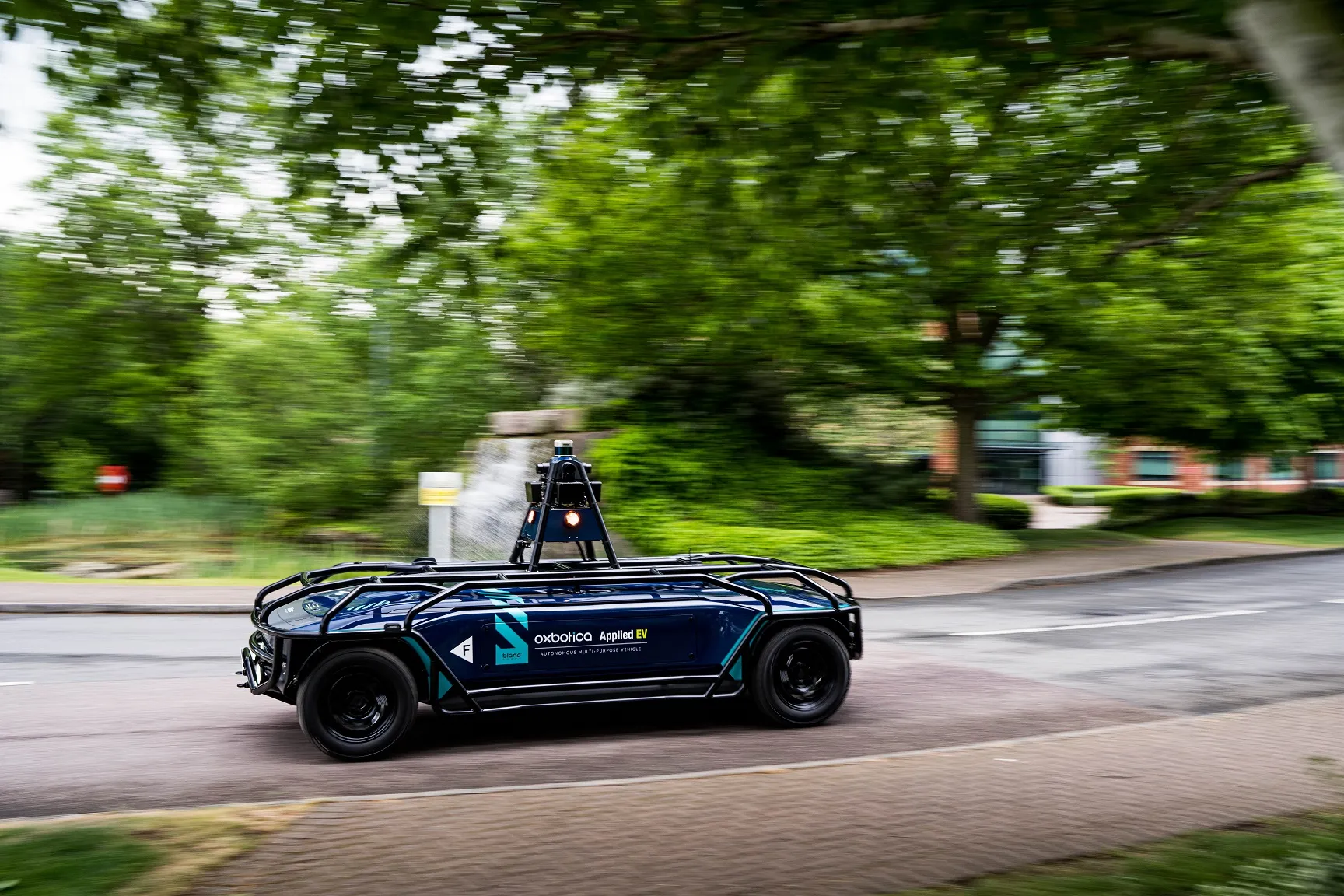
Vodafone has used new precision positioning technology which it says will let fleet operators know the exact whereabouts of their autonomous vehicles (AVs). 

Vodafone says it used its Internet of Things (IoT) platform to remotely track a vehicle within 10cm of its location, an improvement of more than three metres compared with current standard satellite systems. 

Justin Shields, Vodafone business platforms and solutions director, says: "We might not be able to locate a needle in a haystack yet, but we are getting close. What we can do now is take new digital services like this one, integrate it with our global IoT platform and fast networks, and offer it securely at scale to many millions of customers.

The test was carried out in collaboration with Sapcorda, a provider of advanced GNSS 
(global navigation satellite system) augmentation services that provide positioning required to make AVs viable for mass adoption.

According to Vodafone, linking IoT-enabled vehicles with Sapcorda's network of GNSS receivers and augmentation technology improves location accuracy by correcting the curvature of the earth, atmospheric delays and clock differences of global positioning satellites. 

This offers corporations hyper-precise positioning which they can utilise to ensure a safe environment for their customers and the public, the company adds. 

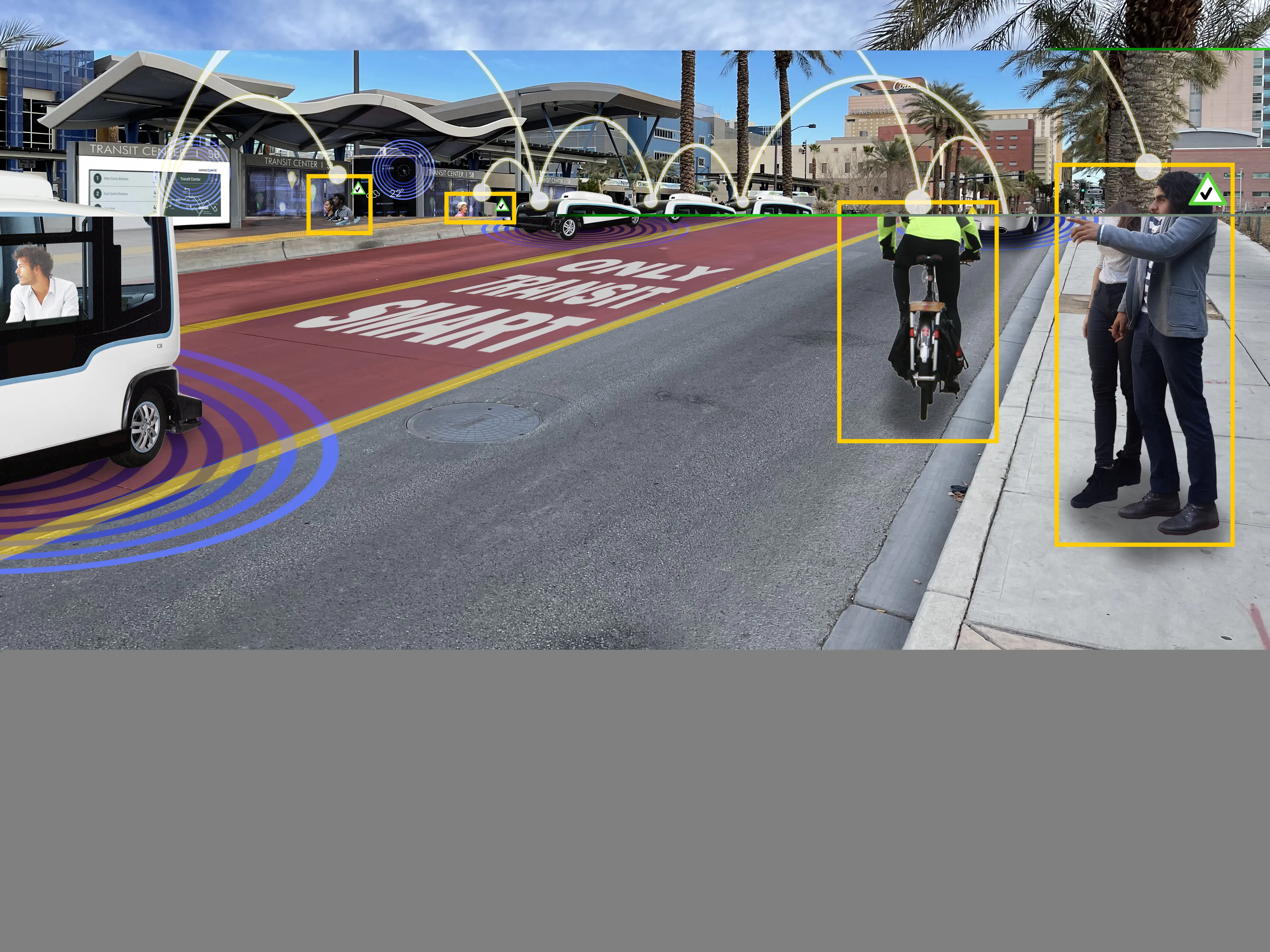
The technology is combined with video and on-board diagnostics to allow vehicle operators to carry out location sensitive remote inspections.

Vodafone insists the solution will allow an autonomous truck to mind other road users, including those using electric bikes, which can automatically transmit their position and intended direction of travel. 

Related Content

  • May 23, 2022
    First EV AV on Europe's public roads
    Oxbotica's AppliedEV is now operating in Oxford, UK, with no on-board driver
  • March 19, 2015
    Additional accuracy enhances ITS options
    High accuracy and reliability of GNSS location data is available using the EGNOS services to be ready for Galileo’s expanding satellite constellation. Global navigation satellite systems (GNSS) are increasingly a building block for ITS applications from road user charging and E-call to tracking & tracing of freight. Even while the European Space Agency is still assembling the Galileo constellation, EGNOS (the European Geostationary Navigation Overlay Service) is already providing the basis of a range of ser
  • December 5, 2013
    Terrestrial solution to stellar shortcomings
    Inherent weaknesses in satellite communications are leading several countries to re-evaluate terrestrial-based backup systems. There is a tale frequently told in satellite navigation circles, of how landing systems at Newark Airport were disrupted by a truck driver using GPS jamming equipment as he drove along the New Jersey Turnpike. While there was no threat to flight safety as the interference to GPS reference stations being tested, the story highlights how apparently benign threats have the potential t
  • February 1, 2022
    New CEO for Aimsun as Gerodimos departs
    Alex Torday takes over while predecessor moves to Siemens-owned AV platform Simulytic