Getting connected with Wejo

New cloud-based platform allows researchers to run mobility studies using CV data
By Adam Hill July 1, 2022 Read time: 2 mins
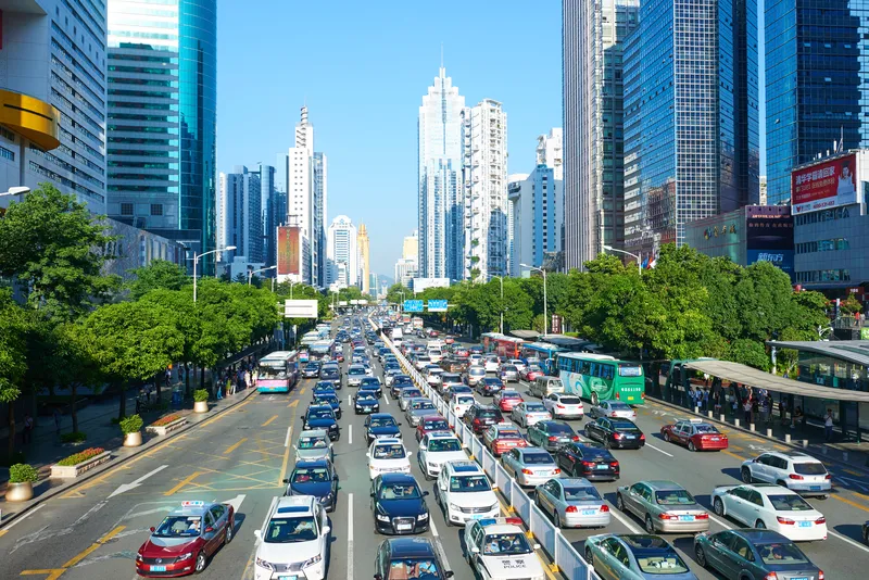
Data comes from tens of millions of connected vehicles across the US and Europe (© Haiyin | Dreamstime.com)

Wejo Group has launched Wejo Labs, a cloud-based platform that offers access to data from tens of millions of connected vehicles (CVs) from across the US and Europe.

It means universities, research organisations and civil and traffic engineering consultancies will be able to run traffic and mobility research at scale, Wejo says - such as origin-destination studies, congestion management, event planning and high-traffic destinations.
 
"Queries on this data can lead to a better understanding of how road conditions affect driving behaviours, validate weather conditions with hyper-local data points, analyse parking trends and identify roads in which hazardous driving occurs most often to support safety improvements," the company explains in a statement.

“Users can easily experiment with one of the most innovative data sources in the world to create proof of concepts using innovative technology that keeps their research and data analysis ahead of the curve to help shape the future of traffic and road safety," insists Richard Barlow, founder and CEO of Wejo.

"With this platform, researchers leverage billions of data points to design future-proof traffic systems and drive the future of smart mobility.”
 
Wejo Labs users can use their preferred programming language, and data outputs can then be visualised in various formats, including bar graphs, heat maps and map layers, to look at data over a specified time period.
 
The solution is accessible through a user’s internet browser, without investing in digital infrastructure or datasets, Wejo says, and there is the option to license specific data for a research project.

For more information on companies in this article

Related Content

  • Hikvision offers faster and better traffic management decisions
    April 8, 2021
    In today’s crowded cities, effective traffic management is critical for reducing congestion and preventing accidents. With the Hikvision Traffic Visualisation Dashboard, traffic managers can view historical and real-time traffic information, helping them make the best decisions and improve outcomes for road users and residents.
  • Asecap Days 2024: Getting used to the new normal
    August 27, 2024
    Asecap Days 2024 in Milan focused on environmental protection of road infrastructure, digital twin-based maintenance and monitoring of highways as well as the impact of electric vehicles, reports David Arminas
  • Here’s HD AV map prepared for 5G
    June 17, 2019
    The emergence of 5G may not be necessary to provide a high-definition map for autonomous driving, says Matt Preyss from Here Technologies. Ben Spencer asks why 5G is a hot topic worldwide, with the potential for faster transfer of information eagerly awaited by those convinced that it will be a game-changer for the ITS industry. High-definition (HD) maps are essential to allow autonomous vehicles (AVs) to understand their environment, and operate safely within it in relation to other road users and p
  • How the metaverse will transform the future of mobility
    March 15, 2023
    Digital development has never been as rapid and disruptive as it is today. The metaverse and technologies such as AR and MR will transform our lives and businesses - including transport planning and shaping the mobility ecosystem, says Christian Haas of UMovity