Getting connected with Wejo

New cloud-based platform allows researchers to run mobility studies using CV data
By Adam Hill July 1, 2022 Read time: 2 mins
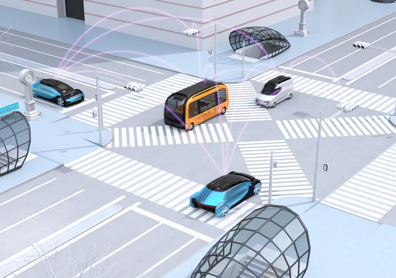
Data comes from tens of millions of connected vehicles across the US and Europe (© Haiyin | Dreamstime.com)

Wejo Group has launched Wejo Labs, a cloud-based platform that offers access to data from tens of millions of connected vehicles (CVs) from across the US and Europe.

It means universities, research organisations and civil and traffic engineering consultancies will be able to run traffic and mobility research at scale, Wejo says - such as origin-destination studies, congestion management, event planning and high-traffic destinations.
 
"Queries on this data can lead to a better understanding of how road conditions affect driving behaviours, validate weather conditions with hyper-local data points, analyse parking trends and identify roads in which hazardous driving occurs most often to support safety improvements," the company explains in a statement.

“Users can easily experiment with one of the most innovative data sources in the world to create proof of concepts using innovative technology that keeps their research and data analysis ahead of the curve to help shape the future of traffic and road safety," insists Richard Barlow, founder and CEO of Wejo.

"With this platform, researchers leverage billions of data points to design future-proof traffic systems and drive the future of smart mobility.”
 
Wejo Labs users can use their preferred programming language, and data outputs can then be visualised in various formats, including bar graphs, heat maps and map layers, to look at data over a specified time period.
 
The solution is accessible through a user’s internet browser, without investing in digital infrastructure or datasets, Wejo says, and there is the option to license specific data for a research project.

For more information on companies in this article

Related Content

  • Developments in software visualisation packages
    February 3, 2012
    Adrian Greeman looks at developments in software visualisation packages. The capacity to make visualisations has been growing in importance over the last decade, and is now a well-accepted part of consultations and client presentations. But making high-quality images of projects is still a major undertaking and larger consultancies employ specialist departments to do so. Costs are coming down but it can still take a while, and some high-capacity hardware, to produce realistic renderings from drawings and 3D
  • User-based insurance joins the battle for big data
    November 10, 2015
    User-based insurance is blazing a trail others would like to follow and is also discovering the challenges. The ITS sector needs to keep a very careful eye on the automotive industry: “There’s a war going on in the connected car space creating richer datasets than we ever imagined possible” says Paul Stacy, research and development director of Wunelli, part of the LexisNexis group. The car makers have gone way beyond infotainment, unlocking huge amounts of data in the process … facts and figures which the i
  • LiDAR sets its sights on future problems
    February 23, 2017
    AAdvances in LiDAR are helping transport authorities improve services and identify potential problem areas, as geospatial technology expert Dr Neil Slatcher explains. The effects of climate change on the transport infrastructure have long been a cause of concern within the transportation sector - and not only on the structures themselves but also on the surrounding areas. This year, those concerns have become reality with landslides, structural collapses and surfacing issues impacting services across the wo
  • OpenSpace visualises how social distancing will work
    May 26, 2020
    OpenSpace CEO Nicolas Le Glatin tells Adam Hill how Xovis camera tech might help unlock more convenient ways for moving through mobility hubs during Covid-19