XenomatiX enters mobile mapping with GPC360

Data captured encompasses details of infrastructure such as traffic signs and light poles
By David Arminas May 31, 2024 Read time: 1 min
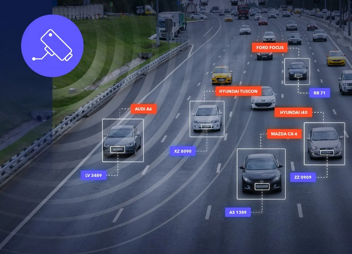
Digital asset representation and precise geolocation are among GPC360's offerings (© Elena Nazarova | Dreamstime.com)

XenomatiX has entered the mobile mapping sector with its GPC360 that uses integrated Lidar-GNSS systems on moving vehicles to gather comprehensive 3D geospatial data.

The company says that, apart from road information, the data captured by GPC360 encompasses intricate details of infrastructure such as traffic signs, light poles, parking spaces, power cables and vegetation. Applications include inventory and asset management, environmental monitoring and urban planning.

Overall, the GPC360 – a compact all-in-one unit - has four key advantages: digital asset representation, precise geolocation, comprehensive 3D visualisation and dimensional analysis. The combination of Lidar and GPS ensures accurate pinpointing of assets. The process is streamlined, with data collection and visualisation happening within minutes.

Customer benefits include a cost-effective mobile mapping kit. Because the GPC360 is compact, it affords easy installation and is suitable for any vehicle, with precise correction for vehicle ego-motion.

The system is an integrated solution encompassing both hardware and software. It facilitates on-board data capture and storage, providing the necessary tools for real-time recording of environmental information. Moreover, its software offers offline functionalities for the meticulous creation of highly accurate geo-referenced digital models of the 360° environment.

Related Content

  • January 14, 2020
    Future of tolling: the priorities
    In the final part of his investigation into the future of tolling technology, Josef Czako of Moving Forward Consulting asks what industry figures see as the priorities going forward…
  • July 24, 2012
    Intelligent parking guidance relieves congestion, reduces costs
    O R Tambo International Airport, near the city of Johannesburg, is the largest airport in Africa. It serves as the primary airport for domestic and international travel to/from South Africa and is one of 10 airports operated by Airports Company South Africa (ACSA). This airport places a massive demand on road infrastructure and parking facilities since a majority of travellers get to the airport by motor vehicle. The demand for parking left many people searching for a parking space for eight minutes or more
  • May 18, 2018
    New ANPR solutions overcome variables
    The sheer range of variables makes it difficult to find a single algorithm to ensure a 100% standard of ANPR. David Crawford investigates new processing technology. Automatic number plate recognition (ANPR), using optical character recognition and image-processing to identify vehicles, plays key roles in traffic monitoring and law enforcement, access and parking control, electronic toll collection, vehicle security and crime deterrence. Overall, system performance is well rated, with high levels of
  • October 8, 2021
    Towards intelligent road infrastructure
    A digital transformation is happening in the world today and the result is that Europe’s transport infrastructure, and also the car industry are experiencing revolutionary changes. Jēkabs Krastiņš looks at the challenges and plots the road ahead.