XenomatiX enters mobile mapping with GPC360

Data captured encompasses details of infrastructure such as traffic signs and light poles
By David Arminas May 31, 2024 Read time: 1 min
Digital asset representation and precise geolocation are among GPC360's offerings (© Elena Nazarova | Dreamstime.com)

XenomatiX has entered the mobile mapping sector with its GPC360 that uses integrated Lidar-GNSS systems on moving vehicles to gather comprehensive 3D geospatial data.

The company says that, apart from road information, the data captured by GPC360 encompasses intricate details of infrastructure such as traffic signs, light poles, parking spaces, power cables and vegetation. Applications include inventory and asset management, environmental monitoring and urban planning.

Overall, the GPC360 – a compact all-in-one unit - has four key advantages: digital asset representation, precise geolocation, comprehensive 3D visualisation and dimensional analysis. The combination of Lidar and GPS ensures accurate pinpointing of assets. The process is streamlined, with data collection and visualisation happening within minutes.

Customer benefits include a cost-effective mobile mapping kit. Because the GPC360 is compact, it affords easy installation and is suitable for any vehicle, with precise correction for vehicle ego-motion.

The system is an integrated solution encompassing both hardware and software. It facilitates on-board data capture and storage, providing the necessary tools for real-time recording of environmental information. Moreover, its software offers offline functionalities for the meticulous creation of highly accurate geo-referenced digital models of the 360° environment.

For more information on companies in this article

Related Content

  • Ford, MIT project measures pedestrian traffic, predict demand for electric shuttles
    July 28, 2016
    Ford Motor Company and the Massachusetts Institute of Technology are collaborating on a new research project that measures how pedestrians move in urban areas to improve certain public transportation services, such as ride-hailing and point-to-point shuttles services. The project will introduce a fleet of on-demand electric vehicle shuttles that operate on both city roads and campus walkways on the university’s campus. The vehicles use LiDAR sensors and cameras to measure pedestrian flow, which ultimate
  • Digital Light Processing transforms travel information
    July 19, 2012
    David Crawford investigates the potential of new projection technology. Fifty years on from its invention of the microchip, US company Texas Instruments (TI) has compressed the technology into a surface area of just 4.3mm. As such, it forms the heart of a new Pico Digital Light Processing (DLP) system that is set to transform travel information delivery for millions of users on the move - by making it projectable.
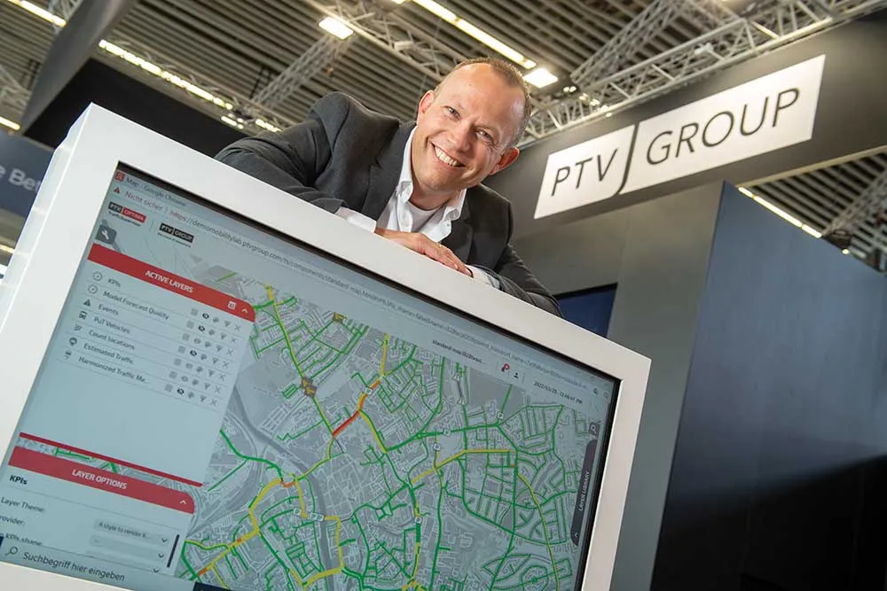
  • PTV raises the bar on mobility
    March 30, 2022
    The world changes – now it’s time to change mobility. With innovative technology, PTV Group empowers cities and traffic professionals, managers, and operators to achieve clarity in improving mobility - and adjust it to today’s needs.
  • Trends in automotive technology
    March 14, 2012
    Continental has become a leading player in vehicle technology and telematics. The firm’s executive board chairman Elmar Degenhart describes to Jason Barnes Continental’s views on the ‘megatrends’ of the automotive industry Strategic moves to diversify Continental’s business from rubber-related products began in the late 1990s with the acquisition of ITT Teves and its brake business. This brought on board know-how relating to the then new electronic stability control (ESC) systems which today form an import