XenomatiX enters mobile mapping with GPC360

Data captured encompasses details of infrastructure such as traffic signs and light poles
By David Arminas May 31, 2024 Read time: 1 min
Digital asset representation and precise geolocation are among GPC360's offerings (© Elena Nazarova | Dreamstime.com)

XenomatiX has entered the mobile mapping sector with its GPC360 that uses integrated Lidar-GNSS systems on moving vehicles to gather comprehensive 3D geospatial data.

The company says that, apart from road information, the data captured by GPC360 encompasses intricate details of infrastructure such as traffic signs, light poles, parking spaces, power cables and vegetation. Applications include inventory and asset management, environmental monitoring and urban planning.

Overall, the GPC360 – a compact all-in-one unit - has four key advantages: digital asset representation, precise geolocation, comprehensive 3D visualisation and dimensional analysis. The combination of Lidar and GPS ensures accurate pinpointing of assets. The process is streamlined, with data collection and visualisation happening within minutes.

Customer benefits include a cost-effective mobile mapping kit. Because the GPC360 is compact, it affords easy installation and is suitable for any vehicle, with precise correction for vehicle ego-motion.

The system is an integrated solution encompassing both hardware and software. It facilitates on-board data capture and storage, providing the necessary tools for real-time recording of environmental information. Moreover, its software offers offline functionalities for the meticulous creation of highly accurate geo-referenced digital models of the 360° environment.

For more information on companies in this article

Related Content

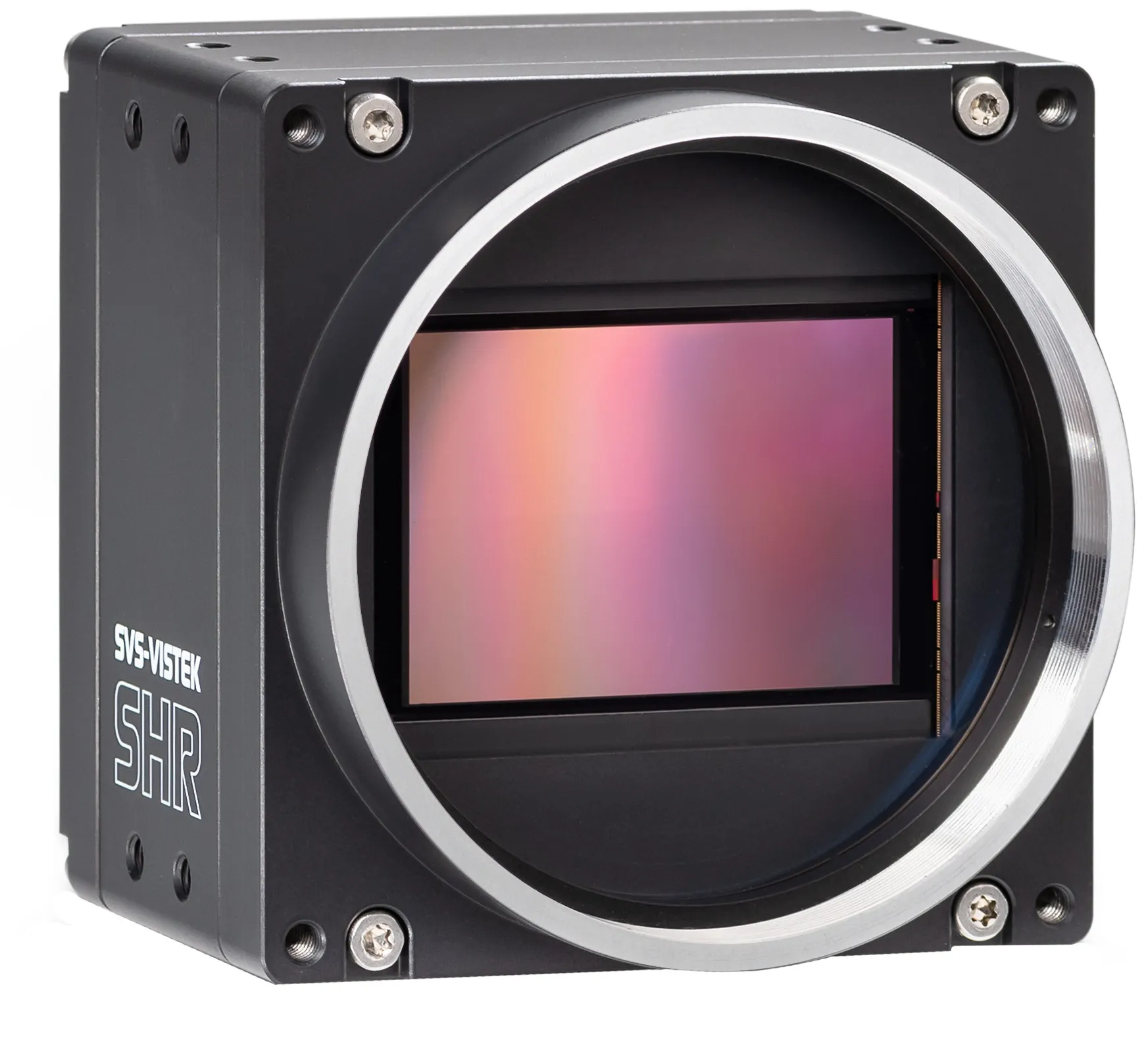
  • SVS-Vistek debuts 245-megapixel machine vision camera
    April 22, 2025
    Product merges Sony sensor with CoaXPress-12 quad interface
  • Huawei advocates for change
    April 23, 2025
    Achieving technological change also requires a shift in mindset, as Jacky Wang, vice president of Huawei’s Smart Transportation business unit, explains
  • Introducing Hitachi’s HD optical zoom camera
    January 15, 2013
    Hitachi’s DI-SC120R camera includes a new feature, defog, that the camera processes in real time. Images are resolved for highly magnified stable images in foggy conditions such as urban surveillance, traffic monitoring and pole mounted applications. The camera measures each pixel for fog thickness and applies contrast to the image to offer a uniform image. The camera’s one-third inch CCD sensor provides a full resolution of 1280x720. Hitachi has combined its proprietary Digital Signal Processor (DSP) to a
  • Maintaining momentum: learning lessons from the London Olympics
    November 15, 2013
    Japan will not only host this year’s ITS World Congress but has been selected for the 2020 Olympics. So what can Japan, and indeed Brazil, learn from the traffic management for London 2012 - Geoff Hadwick finds out. It was a key moment when Olympic boss Jacques Rogge signed off London 2012, calling the Games “happy and glorious.” Scarred by the logistical disaster of Atlanta 1996 and the last-minute building panic for Athens 2008, Rogge clearly thought London 2012 was an object lesson in how to plan and