XenomatiX enters mobile mapping with GPC360

Data captured encompasses details of infrastructure such as traffic signs and light poles
By David Arminas May 31, 2024 Read time: 1 min
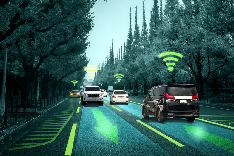
Digital asset representation and precise geolocation are among GPC360's offerings (© Elena Nazarova | Dreamstime.com)

XenomatiX has entered the mobile mapping sector with its GPC360 that uses integrated Lidar-GNSS systems on moving vehicles to gather comprehensive 3D geospatial data.

The company says that, apart from road information, the data captured by GPC360 encompasses intricate details of infrastructure such as traffic signs, light poles, parking spaces, power cables and vegetation. Applications include inventory and asset management, environmental monitoring and urban planning.

Overall, the GPC360 – a compact all-in-one unit - has four key advantages: digital asset representation, precise geolocation, comprehensive 3D visualisation and dimensional analysis. The combination of Lidar and GPS ensures accurate pinpointing of assets. The process is streamlined, with data collection and visualisation happening within minutes.

Customer benefits include a cost-effective mobile mapping kit. Because the GPC360 is compact, it affords easy installation and is suitable for any vehicle, with precise correction for vehicle ego-motion.

The system is an integrated solution encompassing both hardware and software. It facilitates on-board data capture and storage, providing the necessary tools for real-time recording of environmental information. Moreover, its software offers offline functionalities for the meticulous creation of highly accurate geo-referenced digital models of the 360° environment.

Related Content

  • June 30, 2016
    Machine vision’s transport offerings move on apace
    Colin Sowman considers some of the latest advances in camera technology and transport-related vision technology applications. Vision technology in the transportation sector is moving apace as technical developments on both the hardware and software sides combine to make cameras more multifunctional with a single digital camera now able to cover a multitude of tasks.
  • April 2, 2014
    Big data and GPS combine to cut emergency response times
    David Crawford looks at technologies for better emergency medical service delivery. Emergency medical services (EMS) play key roles in transporting, or bringing treatment to, patients who become ill through medical emergencies or are injured in road traffic accidents (RTAs). But awareness has been rising steadily, in the US and elsewhere, of the extent to which EMS can generate their own emergencies. The most common cause is vehicles causing or becoming involved in RTAs, as a result of driving fast under pr
  • January 18, 2022
    Seoul sensors aid autonomous mobility
    Seoul Robotics' LV5 CTRL TWR product can automate vehicles from around corners
  • January 21, 2013
    Mayrise software aids Blackburn’s highways efficiency
    As part of a plan to enhance asset management and drive efficiencies, Blackburn with Darwen Borough Council in the UK has implemented street lighting software from UK supplier of local authority service management systems, Mayrise Systems. Supported by £400,000 worth of funding from the Department of Transport the council has developed a number of projects designed to develop a model for highway asset management, to be achieved through innovative use of IT and the continued delivery of safety schemes.