XenomatiX enters mobile mapping with GPC360

Data captured encompasses details of infrastructure such as traffic signs and light poles
By David Arminas May 31, 2024 Read time: 1 min
Digital asset representation and precise geolocation are among GPC360's offerings (© Elena Nazarova | Dreamstime.com)

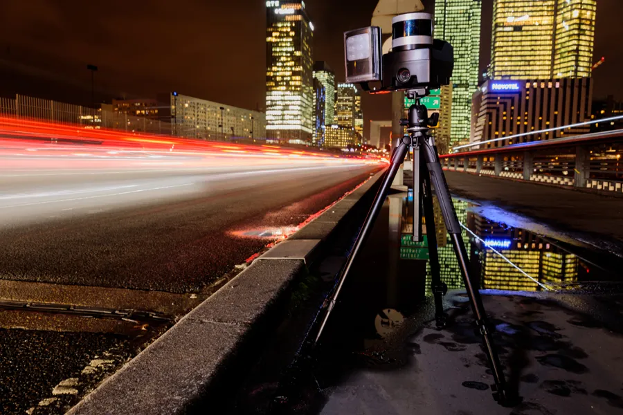
XenomatiX has entered the mobile mapping sector with its GPC360 that uses integrated Lidar-GNSS systems on moving vehicles to gather comprehensive 3D geospatial data.

The company says that, apart from road information, the data captured by GPC360 encompasses intricate details of infrastructure such as traffic signs, light poles, parking spaces, power cables and vegetation. Applications include inventory and asset management, environmental monitoring and urban planning.

Overall, the GPC360 – a compact all-in-one unit - has four key advantages: digital asset representation, precise geolocation, comprehensive 3D visualisation and dimensional analysis. The combination of Lidar and GPS ensures accurate pinpointing of assets. The process is streamlined, with data collection and visualisation happening within minutes.

Customer benefits include a cost-effective mobile mapping kit. Because the GPC360 is compact, it affords easy installation and is suitable for any vehicle, with precise correction for vehicle ego-motion.

The system is an integrated solution encompassing both hardware and software. It facilitates on-board data capture and storage, providing the necessary tools for real-time recording of environmental information. Moreover, its software offers offline functionalities for the meticulous creation of highly accurate geo-referenced digital models of the 360° environment.

Related Content

  • May 12, 2022
    How can your business plan for the worst?
    Covid and extreme weather events have recently shown that disruption to our lives and daily routines can come suddenly, and on a staggering scale. Roger Leyland of ISN Solutions outlines what can be done to ensure continuity for agencies and businesses
  • November 18, 2020
    Parifex: collect data to help cities become smarter
    Traffic data collection is a key topic for cities and mobility digitalisation. It is predicted that some 70 per cent of the world’s population will live in a city by 2050. That is why cities are hurrying up to optimise population flows and provide efficient means of transport.
  • January 11, 2017
    Kapsch outlines tolling options to combat traffic congestion
    Michael Maitland from Kapsch TrafficCom looks at how the various forms of tolling can help authorities combat traffic congestion and air quality problems while simultaneously raising revenue.
  • December 21, 2017
    Hella launches advanced people counting for public transportation
    Hella says its APS-90 and APS-180 advanced people sensors are highly dynamic stereoscopic cameras with sufficient on-board computing power to bundle precise image processing and feature-rich application software in a new, appealing design. With their 3D imaging, low-light sensitivity and very short latency, the cameras are suitable for a wide range of people-counting applications and security solutions in any lighting conditions. The APS-90 is capable of monitoring an area up to 20m2, while the APS-180 can