XenomatiX enters mobile mapping with GPC360

Data captured encompasses details of infrastructure such as traffic signs and light poles
By David Arminas May 31, 2024 Read time: 1 min
Digital asset representation and precise geolocation are among GPC360's offerings (© Elena Nazarova | Dreamstime.com)

XenomatiX has entered the mobile mapping sector with its GPC360 that uses integrated Lidar-GNSS systems on moving vehicles to gather comprehensive 3D geospatial data.

The company says that, apart from road information, the data captured by GPC360 encompasses intricate details of infrastructure such as traffic signs, light poles, parking spaces, power cables and vegetation. Applications include inventory and asset management, environmental monitoring and urban planning.

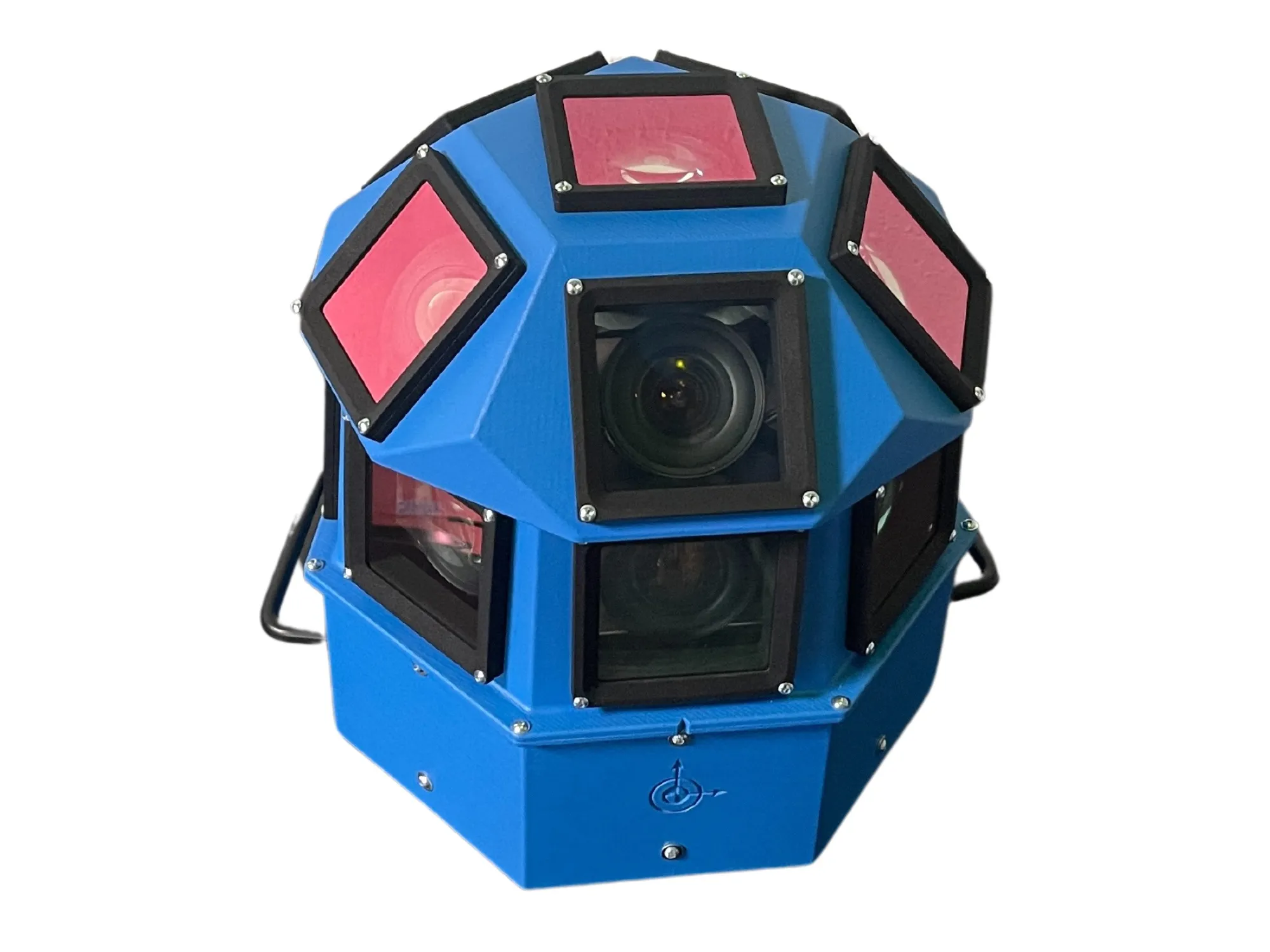
Overall, the GPC360 – a compact all-in-one unit - has four key advantages: digital asset representation, precise geolocation, comprehensive 3D visualisation and dimensional analysis. The combination of Lidar and GPS ensures accurate pinpointing of assets. The process is streamlined, with data collection and visualisation happening within minutes.

Customer benefits include a cost-effective mobile mapping kit. Because the GPC360 is compact, it affords easy installation and is suitable for any vehicle, with precise correction for vehicle ego-motion.

The system is an integrated solution encompassing both hardware and software. It facilitates on-board data capture and storage, providing the necessary tools for real-time recording of environmental information. Moreover, its software offers offline functionalities for the meticulous creation of highly accurate geo-referenced digital models of the 360° environment.

Related Content

  • November 13, 2024
    AI-InfraSolutions and Stemmer go the full 360°
    Panoramic camera head designed for automated data collection in traffic applications
  • February 23, 2017
    LiDAR sets its sights on future problems
    AAdvances in LiDAR are helping transport authorities improve services and identify potential problem areas, as geospatial technology expert Dr Neil Slatcher explains. The effects of climate change on the transport infrastructure have long been a cause of concern within the transportation sector - and not only on the structures themselves but also on the surrounding areas. This year, those concerns have become reality with landslides, structural collapses and surfacing issues impacting services across the wo
  • June 29, 2021
    Can AV mapping rely on crowds?
    Mapping tech companies need to expand their data inputs beyond crowdsourcing in order to maintain temporally accurate maps at scale, says Ro Gupta at Carmera
  • November 26, 2013
    New name offers new solutions
    Pete Goldin examines Nokia’s rationale for combining its location services, digital mapping and other capabilities under the HERE brand. While it has divested itself of its mobile phone business to Microsoft, Nokia has kept hold of its HERE business unit and brand which incorporates the company’s location services with digital mapping and other capabilities. The creation of HERE is much more than rebranding as its services are heading off the map and into the cloud. “HERE offers the first location cloud