York roll-out for PTV Optima traffic management software

Partial deployment found improvements to journey times of up to 8% in traffic peaks
By Adam Hill June 12, 2024 Read time: 2 mins
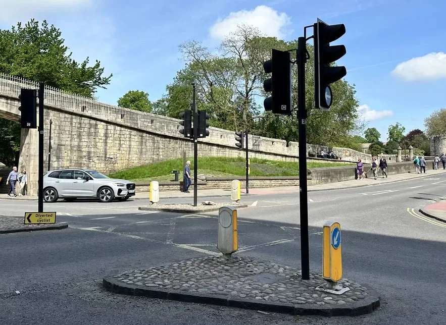
Traffic in York is predicted on 'a rolling 15-minute future horizon' (image: PTV Group)

PTV Group, part of Umovity, says it has scaled up the use of its real-time traffic management software PTV Optima in the UK city of York. 

Originally implemented for specific junctions in the city, a before-and-after comparison has found improvements to journey times of up to 8% in the peaks as well as "significant reduction to the variation of journey times across the day". 

The firm says Optima uses live data, fast computer processing and modelling technology "to predict how traffic will look on the York network in a rolling 15-minute future horizon, providing an estimation of what is happening on the road in real time". 

Based on that, it predicts the most effective traffic signal strategy, allowing network managers in York's traffic control room to alter timings to prevent congestion, proactively manage demand and reduce idling time and, therefore, cut emissions.

“The model is continually updating itself, ingesting real-time data and reworking its predictions to react to changing conditions, alerting traffic managers to abnormal incidents and giving quantitative advice on possible mitigation strategies," explains PTV UK technical director Michael Oliver.

PTV Optima has been used in many urban areas, including the Italian cities of Rome and Turin, Strasbourg (France) and Lublin (Poland). 

PTV says that in Taichung (Taiwan) and Vienna (Austria) this has led to a 10-50% reduction in travel times and has cut delays at junctions by up to 60%, meaning fewer vehicle stops and up to 15% fewer emissions.

For more information on companies in this article

Related Content

  • Inrix aids authorities in dealing with data
    August 18, 2015
    New traffic data products and services have been launched to aid transport and urban planners and business with detailed intelligence on journey patterns, reports Jon Masters. Manual travel surveys ought soon to become a thing of the past for transport planners and the business community. The technology now exists for getting sophisticated levels of traffic and trip data from connected vehicles. Cars and commercial fleets carrying a GPS device, or a mobile phone or smartphone are the sources of the informat
  • Satellite based goods vehicle tracking comes a step closer
    March 15, 2012
    A project aimed at proving the viability of satellite-based goods tracking in Europe has come to a close – establishing everything necessary for commercial services to flourish. A landmark stage was reached in tracking of goods across Europe in December last year, with conclusion of the Scutum project – ‘Securing the EU GNSS adoption in transport of dangerous materials’. This has validated the accuracy and reliability of the European Geostationary Navigation Overlay Service (EGNOS) for goods tracking and se
  • Congestion pricing: the time to act is now
    August 20, 2024
    New York may have thrown a curveball on congestion pricing, but it is a proven global strategy for traffic management which cities should adopt, argues Wes Guckert of The Traffic Group
  • Arup and Amey to design Australian smart motorway project
    September 28, 2016
    Arup, working with Amey, is to deliver the M4 Smart Motorway project, said to be the first of its kind in New South Wales, Australia. The commission includes all technology and civil works, spanning from detailed design through to construction support services.