VivaCity and Valerann are among nine companies receiving funds to develop ideas to better manage hazards on major roads.
The finalists in the innovation competition from England's National Highways will receive up to £90,000 to develop their concepts and improve safety.
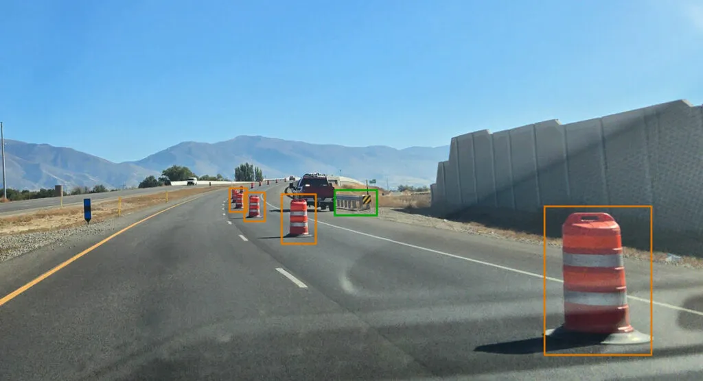
Hazards could range from unsafe driving to potholes, and from flooding to obstructions in the road.
The winning ideas include using 3D radar technology to predict weather-related road hazards, AI road monitoring technology that can be used by traffic control centres, traffic officers or in inspector vehicles and virtual reality training courses for drivers.
The competition was aimed at small or medium enterprises that may not have worked with National Highways before "and could have as yet undiscovered, innovation gems to share around dealing with hazards".
The companies will be offered coaching and mentoring, business development opportunities and technical and procurement support.
Erika Lewis, chief executive at Connected Places Catapult, says: “We’re very pleased to be working alongside National Highways to support these small businesses to develop proposals to trial their technologies. By bridging the gap between small businesses and large infrastructure clients we’re able to support the development of fresh ideas and support the commercialisation of new technologies.”
The finalists will now get funding of £15,000 to £30,000 to design their trials. After that, five projects will be awarded up to £60,000 to deliver their trials.
National Highways technology programme portfolio manager James Gibson says: "We are very optimistic that these schemes will be able to improve safety and help prevent people coming to harm on our roads.”
What are the nine projects?
Esitu Solutions (based in Nottingham) will be developing a virtual reality training course as a downloadable app for the Meta Quest headset to promote safer and more considerate driving
Vesos (Devon) developed TeCall to harvest eCall data automatically sent after collisions. TeCall fuses other hazard alerts, adds vehicle make and model, propulsion and can identify if vulnerable drivers are on board
Pram (Dublin) is an integrated solution that predicts weather-related and surface condition hazards on the network and is based on 3D radar technology widely used in the automotive industry
VivaCity (London) sensors provide data on interactions between road users, enabling a proactive response to an increased rate of near misses
Roadside Technologies (Chesterfield) is developing an automated hazardous object detection solution using the latest in sensing technology, to improve road user safety and enable smoother journeys through temporary workzones on roads
CrossTech (Wiltshire) has developed a stopped vehicle detection verification system. The platform builds on the automated computer vision inspection platform from the rail industry, called Hubble
Route Reports (London) is a video analytics-based road monitoring device that can be fitted to any National Highways vehicle in order to automatically detect hazards
TransPix (Hull) uses video analytics and computer vision technology to improve road and workplace safety by detecting complex behaviours and hazards
Valerann (London) has developed an AI real-time road data analytics platform fuses data from a broad range of data sources to deliver road traffic situation insights and accidents risk modelling, improving road traffic authorities’ situational awareness and empowering them to take accurate, actionable and timely decisions.