Lidar specialist Ouster has announced that its Blue City traffic management solution has passed the requirements of Nema TS2 as a detection system for traffic actuation.
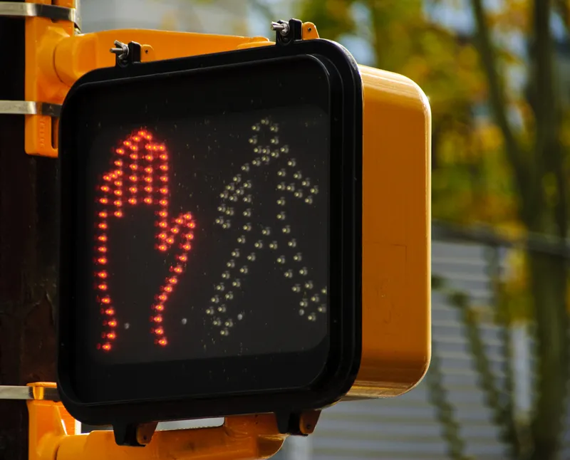
The National Electrical Manufacturers Association (Nema) TS2 is a standard for traffic control assemblies, such as traffic lights and walk signs. The standard is designed to ensure high network reliability in ITS.
Blue City is now the first Nema TS2-certified solution with Buy America(n) certified Lidar, according to Ouster.
With Nema TS2 certification, the Ouster Blue City solution delivers reliable multimodal traffic actuation and safety analytics within a single system. Blue City combines Ouster’s 3D Lidar sensors with edge artificial intelligence to capture traffic data for active traffic actuation, improving safety and efficiency while protecting the community’s privacy.
Blue City’s cloud-based analytics platform provides monitoring and visualisation in real time, delivering instant insights for traffic management.
“This is a testament to the quality and reliability of Ouster’s products,” said Asad Lesani, Ouster’s vice president for smart infrastructure products. “Smart traffic solutions offer an immense opportunity to improve roadway efficiency, carbon emissions and safety for all road users. Ouster’s software-attached sales have continued to grow and the Nema TS2 certification will only further accelerate Blue City’s adoption in cities across North America.”
Ouster said that many cities around the world are evaluating and installing its Lidar-powered traffic management system.
The US Department of Transportation recently awarded two million-dollar Smart (Strengthening Mobility and Revolutionising Transportation) grants to Nashville DoT and the city of Chattanooga to make streets safer using Blue City. It is currently deployed at more than 250 intersections with more underway as municipalities take steps to modernise their traffic infrastructure.
The US Bipartisan Infrastructure Law established the Smart grant programme with $100 million to be appropriated annually from 2022 to 2026. The money is given to eligible public sector agencies to conduct demonstration projects focused on advanced smart community technologies and systems in order to improve transportation efficiency and safety.
Ouster is headquartered in San Francisco in the US state of California and has offices in the Americas, Europe and Asia-Pacific.