
Iteris wins $1m traffic SaaS contract in California

Ventura County Transportation Commission will use product to improve regional mobility
By Adam Hill March 14, 2024 Read time: 2 mins
Traffic in Ventura (© Wirestock | Dreamstime.com)

California's Ventura County Transportation Commission (VCTC) has awarded a three-year, $1 million contract to Iteris for use of its ClearGuide solution - part of the ClearMobility platform.

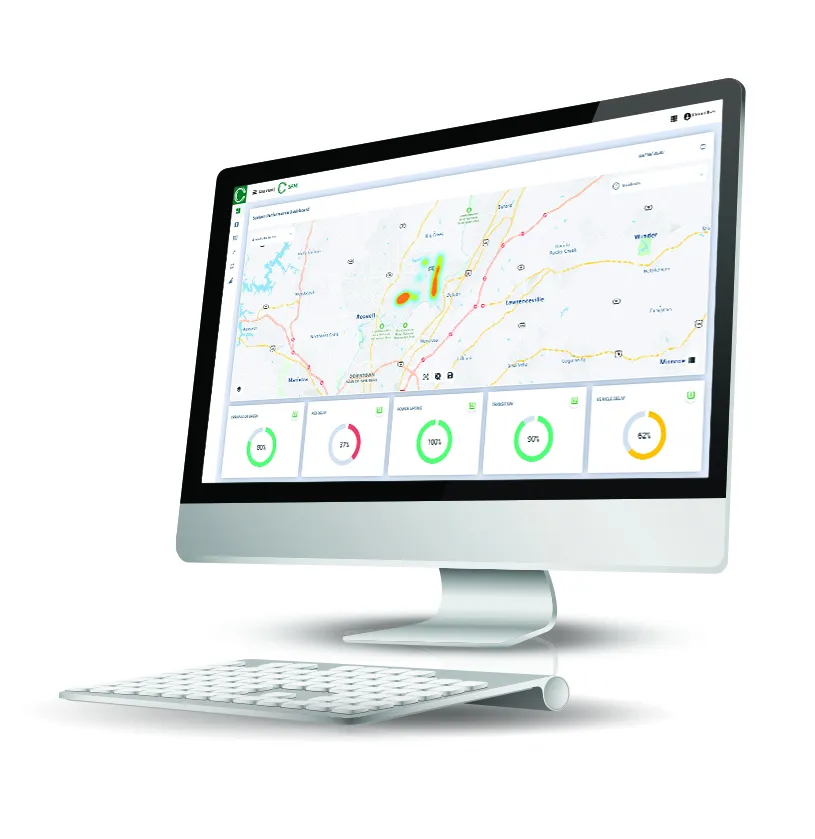
The Software as a Service (SaaS) agreement will see VCTC use ClearGuide Roadways to "perform sophisticated mobility analytics", Iteris says.

The product is designed to help improve real-time operations, incident management, workzone mobility and transportation planning with traffic data and map content powered by Here Technologies. 

Iteris says the software will be available to all cities and other agencies throughout the county.

“We’re delighted to be working with Ventura County Transportation Commission to continue improving mobility in Southern California with our SaaS offering,” said Scott Perley, vice president of program management at Iteris.

“They now join regional partners Los Angeles County and San Bernardino County in utilising ClearGuide to turn data into insights for smart, data-driven decisions that will improve accessibility, efficiency and sustainability in the region.”

Iteris will provide traffic volume estimates for freeways and arterial roads in the county. These are created by using ClearData probe data and advanced learning models to provide a picture of volumes at 15-minute intervals over the previous year. 

This can be combined with other ClearGuide traffic metrics to generate accurate estimates of vehicle miles travelled (VMT) or vehicle hours of delay (VHD).

For more information on companies in this article

Related Content

  • Troopers in the TOC – a recipe for success
    May 11, 2016
    A traffic incident management project in Arizona has speeded up reopening closed lanes and saved an estimated $165m through reducing traffic delays. The process for clearing roadway incidents on the Maricopa County freeways in Arizona has always reflected industry best practice with, for instance, a live feed of freeway cameras to the Arizona Department of Public Safety’s (DPS) dispatch centre and the City of Phoenix Fire dispatch centre. The region has nearly 480km (300 miles) of freeway connecting 27 citi
  • Rekor AI speeds Ohio transit
    October 7, 2022
    New web platform designed to help reduce journey times and improve road safety
  • Econolite supports crowdsourced traffic data analytics
    August 28, 2020
    Users can tailor the solution for specific traffic control needs, firm says. 
  • Inrix informs FHWA’s data improvements
    December 19, 2017
    Refinements in the data available from the US Federal Highway Administration will improve road management across America. David Crawford reports. In August 2017, the US Federal Highway Administration (FHWA) issued the first results from an upgraded version of its National Performance Management Research Data Set (NPMRDS). Developed to identify the locations and times of high congestion affecting traffic flows along America’s 259,000km (161,000 mile) national highway system, this is a key resource for sta