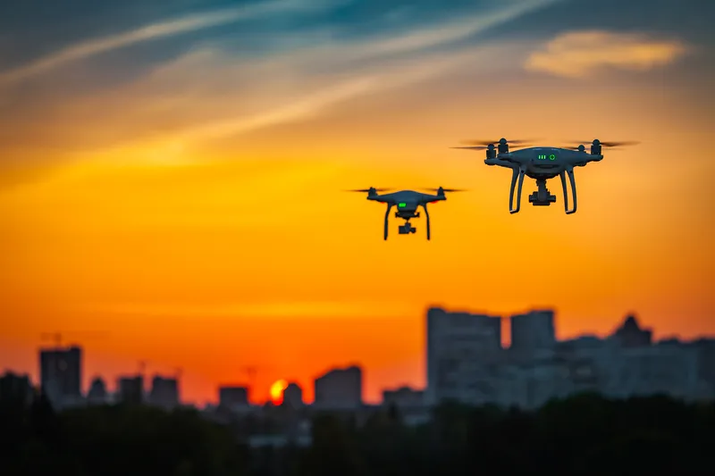
Coventry City Council in the UK is working with consultancy Vesos, drone operator Skyfarer and Haas Alert to see how a drone can have first-eyes on a traffic collision.
Delegates at a recent Local Council Road Infrastructure Group Innovation and Learning Festival saw how a drone can accelerate and refine the response to an automated eCall from a vehicle involved in an incident. The eCall facility has been in all newly-approved cars and vans across Europe since 2018.
An eCall automatically raises the alarm when the vehicle’s airbags are deployed in a crash. It can also be manually activated by the driver or passenger by pressing the eCall SOS button. An alert includes vehicle type and how many people on board.
Once an eCall alert is received, the drone flies to the location defined by eCall and transmits live pictures to emergency services and the local transport control centre. Emergency services can then decide what resources to deploy based on what they see, as well as the data from the vehicle.
The drone’s images also allow highway operators to better plan their traffic management response.
Skyfarer supplied and operated the drone at the live demonstration. Meanwhile, specialist eCall consultancy and software company Vesos Solutions passed along the data from a vehicle’s eCall automated alert system to direct a drone to the scene of a road incident.
Sunil Budhdeo, transportation innovation manager for Coventry City Council, said the emergency services and traffic control centre gets a “truer picture” of what the incident is like:
“If it's going to be a six-hour closure, then we can put [a] network plan in process, put the diversions in process, [which] gives us an opportunity to make sure that we're ahead of the game. We can work in partnership with all the emergency services, highways agencies and local council. That triage service is going to be absolutely brilliant in helping us meet some of our net-zero targets.”
“It beams pictures back to all interested control rooms and could also beam pictures to emergency services en route on their phones,” said Andy Graham, co-founder of Vesos. “We already know some things about the vehicle, its type, and how many people on board, but actually getting pictures from it is the extra golden nugget for emergency services and for traffic operators.”
Vesos Solutions, set up by four industry experts Andy Rooke, Danny Woolard, Andy Graham and Alan Gentle, offers project consultancy, design services and solutions to improve road safety and response times based around eCall technology and services.
In November 2022, the UK government awarded Coventry City Council a grant of around £268,000 to help deliver “Drone Ready Cities”, a UK government initiative. Coventry City Council has partnered with the Midlands Aerospace Alliance to work to remove non-aviation regulatory barriers to the use of urban drones. A draft regulatory framework has already been made accessible to encourage other local authorities to be drone-ready.