
UK researchers developing 3D 'black box' technology for vehicles

UK-based Roke Manor Research (Roke) has developed, with the help of funding from Innovate UK, what it says is the world's first viable 3D 'black box' technology for vehicles, using a single dashboard camera.
August 10, 2016 Read time: 1 min

UK-based 496 Roke Manor Research (Roke) has developed, with the help of funding from Innovate UK, what it says is the world's first viable 3D 'black box' technology for vehicles, using a single dashboard camera.

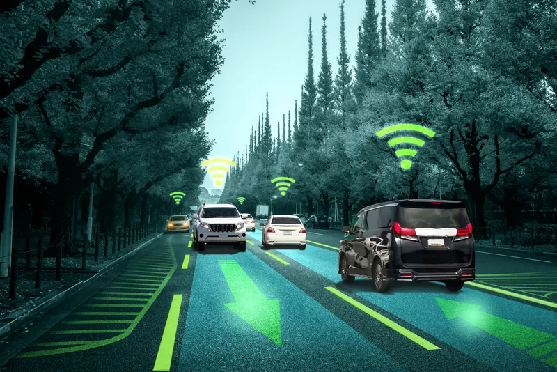
Roke demonstrated how, by using vision processing, the captured data could be used to provide a precise 3D reconstruction following a road incident. Roke believes it is set to offer insurers, drivers and even autonomous vehicle manufacturers, independent evidence of what happened and will not just lead to safer vehicles but also help to build public trust in driverless vehicles.

According to Dr James Revell, consultant engineer at Roke, the technology uses computer vision algorithms to enable the precise position and orientation of any vehicle - car, bike, lorry or autonomous vehicle. This allows for near-perfect 3D reconstruction of any accident to be created even if the vehicle loses complete control.

For more information on companies in this article

Related Content

  • Monitoring and transparency preserve enforcement's reputation
    July 30, 2012
    What can be done to preserve automated enforcement's reputation in the face of media and public criticism? Here, system manufacturers and suppliers talk about what they think are the most appropriate business models. Recent events in Italy only served to once again to push automated enforcement into the media spotlight. At the heart of the matter were the numerous alleged instances of local authorities and their contract suppliers of enforcement services colluding to illegally shorten amber signal phase tim
  • Inertial sensors dramatically improve GNSS for ITS applications
    January 18, 2012
    Phil Harris, Thales UK, on how fused sensor data can significantly enhance GNSS-based positioning systems' performance in urban areas. Global Navigation Satellite System (GNSS)-based positioning is unique among available positioning technology due to its universal coverage and low equipment cost. By measuring the distances between an unknown position (such as a vehicle), and at least three known positions (GPS satellites), the unknown position can be calculated in three dimensions (latitude, longitude, and
  • Seoul sensors aid autonomous mobility
    January 18, 2022
    Seoul Robotics' LV5 CTRL TWR product can automate vehicles from around corners
  • Drone pics are 'extra golden nugget' for emergency services and traffic operators
    August 8, 2024
    UK city working with Vesos, Skyfarer & Haas Alert to get 'first eyes' on collisions