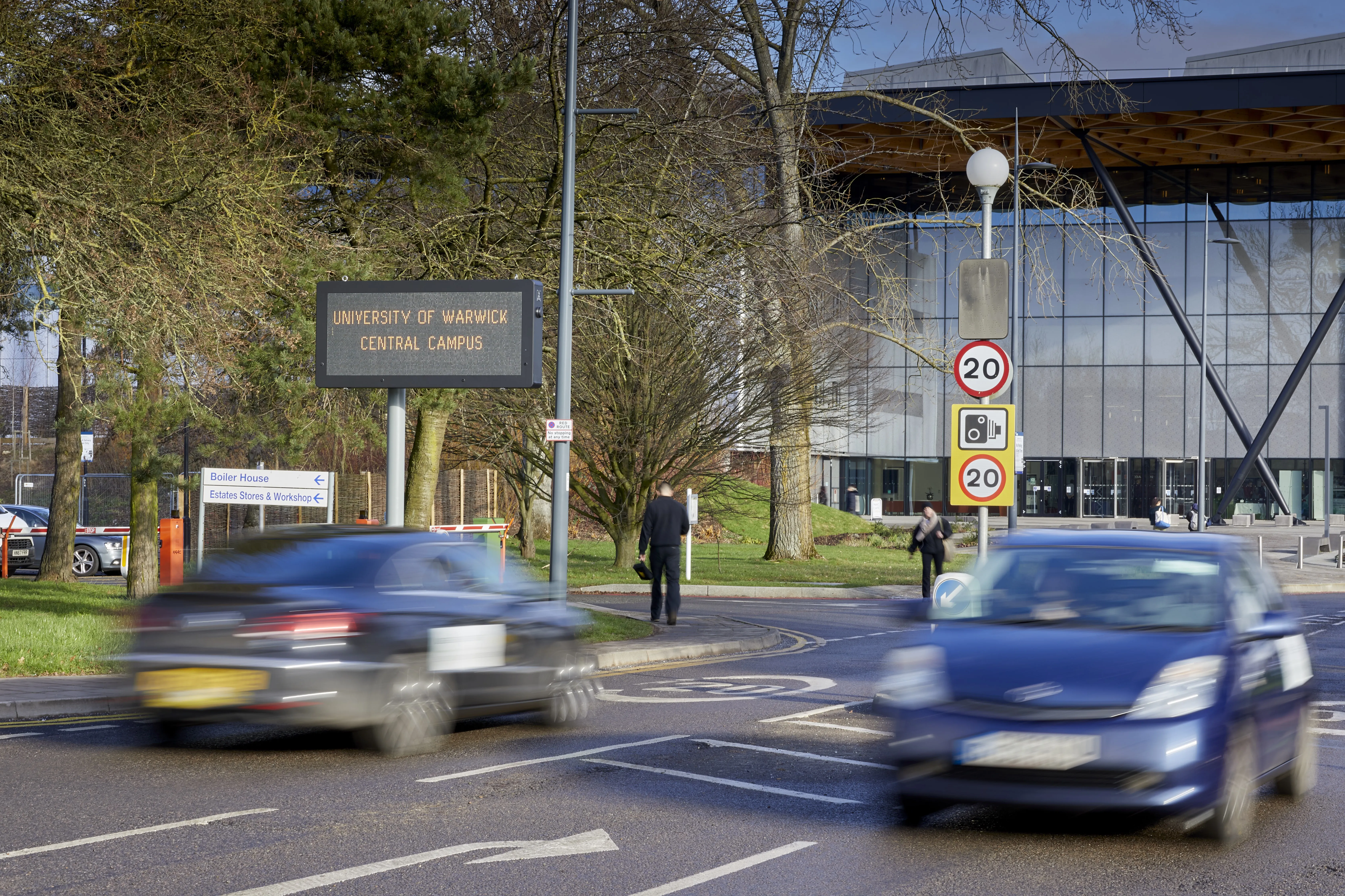
Swarco parks up at Warwick University

Warwick needed to maximise available parking across 27 on-campus car parks
By David Arminas May 28, 2020 Read time: 2 mins
The entire site is managed by Swarco's web-based Zephyr solution

Swarco Traffic has installed a complete parking solution and management system for the UK’s Warwick University to help reduce congestion across the entire campus.
 
Warwick is working on its five-year plan to develop its campus and facilities and is targeting student population growth as much as 40% by 2030.

As part of the plan, the university needed to upgrade its transport systems and in particular, improve parking facilities and parking management across the campus.
 
One of the main issues it faced was coordinating its traffic flow management.

Drivers were struggling to find available parking spaces, causing congestion and at times a chaotic parking experience. Ultimately the university needed to find a solution that maximised the available parking spaces across 27 on-campus car parks.
 
Swarco's solution encompasses both hardware and management software.

The company says it quickly identified that a lack of parking spaces was not the problem; the challenge was in identifying where parking was available - and specifically signposting spaces that were vacant.
 
Swarco recommended a combination of different types of sign types across the campus and which clearly displayed space-availability arrows, featuring the number of free spaces in green or displaying ‘full’ in red.

This enables drivers to clearly see whether or not spaces are available from a distance and take a different route before entering a line of vehicles and adding to congestion.

These signs are complemented with full-colour variable messaging signs for providing parking and traffic flow information, site-wide safety announcements and to tell drivers and visitors of any events, maintenance works or road closures.
 
Intelligent data is sent to the signs by a series of car park counters and inductive loops that record all vehicles entering and exiting a car park. Data and status of the car parks are always up to date, enabling the university to better manage parking availability.
 
The entire site is managed by Swarco’s Zephyr, a web-based user interface solution.

Project manager Tony Gillings says this enables users to quickly and easily edit message and pictogram displays at the touch of a button, as well upload new text and graphics.

The platform can access data on traffic, speeds and volumes as well as set timetables, on/off times and provide key information such as power monitoring, LED monitoring and radar monitoring.

For more information on companies in this article

Related Content

  • Stars and autostripes
    September 12, 2014
    Transport engineers and planners in the USA and Australia are set to benefit from innovative road striping and traffic management design software previously only available in the UK. UK company Keysoft Solutions’ new AutoStripe application has been developed by Keysoft Solutions to enable users to design road markings quickly and efficiently in AutoCAD. AutoStripe is based on the developers’ popular KeyLines software extensively used in the UK but has been adapted specifically to comply with North Ame
  • EDI highlights advanced traffic control cabinets
    June 5, 2018

    Eberle Design Incorporated (EDI) and Reno A&E are here at ITS America Detroit to highlight innovations in traffic data aggregation, vehicle detection and intersection safety monitoring solutions. These include the iCite Data Aggregator series, the future of advanced traffic control cabinets, and the latest Everloop precision detection system.

  • UK drivers get real time traffic information boost
    August 9, 2012
    The UK Highways Agency is trialling a system to add commercially available traffic data to its existing sources to monitor how well traffic is flowing on England's motorways and strategic roads. Similar data sources are already used by satellite navigation devices, smartphones, and applications like Google maps. Better real-time data will allow agency staff to respond more quickly to incidents and identify delays and communicate them to drivers so they can take alternative routes if necessary.
  • Near-fit technology can provide the solution - just ask the question.
    August 19, 2015
    When a company launches a product it never quite knows how that product will be used and what else it may be required to do. Lufft’s mobile weather sensor MARWIS is a prime example. Last winter Lufft introduced MARWIS, its mobile road weather sensor, handing it initially to long-term sales partners to test and improve. What was known was the sensor’s fast reaction rate (up to 100 Hertz), combined with its wide range of measurement information, and would provide users with a gapless overview of the road stat