
Q-Free installs parking guidance in Nevada

Q-Free is to deploy a parking guidance system which will display available spaces at the four-level Victorian Square garage in the US city of Sparks, Nevada. 
By Ben Spencer April 8, 2020 Read time: 1 min
Going out? Real-time parking availability information should help (© Trong Nguyen | Dreamstime.com)

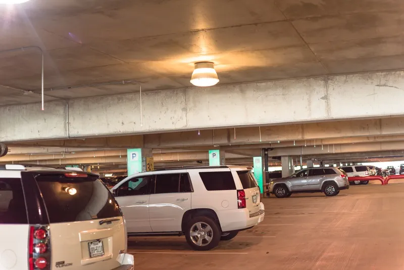
Victorian Square contains 750 parking spaces in the city's dining, theatre and casino districts.

The company says sharing real-time parking availability with drivers will allow them to determine in advance whether to drive downtown, ride-share or use other transportation. 

Q-Free's ultrasonic directional sensors will monitor space availability which will be displayed on variable message signs in and around the garage. 

Americans with Disabilities Act-compliant signs will direct disabled drivers to specific spaces, the company adds. 

The system will also allow the city to post parking availability information through an app or website. 

For more information on companies in this article

Related Content

  • Weigh in Motion gets smarter
    January 4, 2023
    Weigh in Motion technology is at the forefront of protecting road surfaces and helping enforcement activity – but could it also play a key role in the development of Smart Cities?
  • Q-Free calls on traffic signal companies to stop ‘stifling innovation’
    November 15, 2019
    Q-Free is challenging all traffic signal companies to release their management information bases (MIB) to speed up innovation and reduce agency costs.
  • Lime and Citymapper find each other
    December 22, 2020
    Mapping firm and micromobility provider have linked up in 21 global cities
  • Sensor detects pothole hazards in real time
    June 15, 2015
    An innovative ‘pothole alert’ research project could potentially save motorists billions of pounds in punctures, vehicle damage and road accidents every year, say researchers. Jaguar Land Rover is researching a new connected car technology that will allow a vehicle to identify the location and severity of potholes, broken drains and manhole covers, and then share this data in real-time via the cloud with other vehicles and with road authorities to help them prioritise repairs.