AppyWay launches Parking API

The underlying problem when parking is information about available spaces
By David Arminas June 9, 2020 Read time: 2 mins
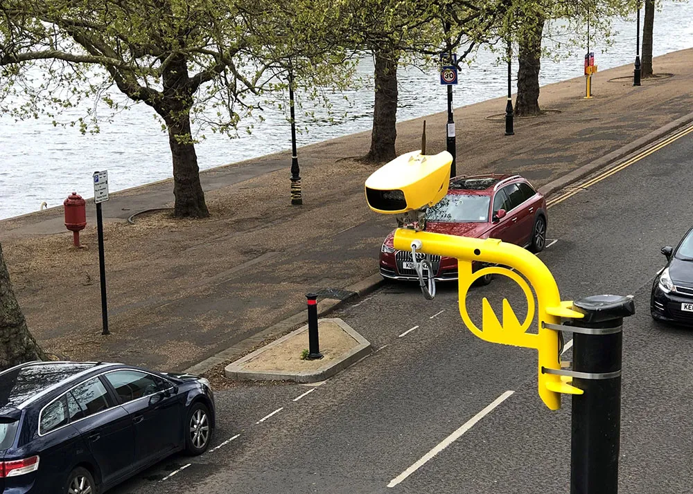
Tight spaces and a tight schedule can make parking difficult

Kerb management firm AppyWay has launched its Parking API (application programming interface) that the company says will save drivers time when looking for a parking space.

It uses standardised and interoperable parking data as recognised by the UK government’s Future of Mobility: Urban Strategy.

“The underlying problem is parking information, or as we like to call it, kerbside intelligence,” explained Dan Hubert, founder of AppyWay.

“Take for example a carpenter working for a facilities management company. They need to know if it's free or legal to park [at a site], how much it might cost and more importantly, what is the maximum stay permitted."

"Our Parking API has been specially designed to be able to expose this level of insight, helping them drive straight to the right space that suits their needs, quickly and safely,” said Hubert.

AppyWay says that the Parking API can be used by businesses to deliver benefits for their own operations but also by software developers, who are solving problems for their customers and looking to add value across their product offerings.

With high-definition coverage, the API collects and refreshes kerbside data, combining with it a cost calculator so that developers can build tailored solutions to meet a wide variety of use cases.

AppyWay says that its Parking API is available for developers with a limited free trial.

Related Content

  • Christian Haas, PTV: 'Be optimistic, innovative and strong'
    May 27, 2020
    Christian Haas joined PTV as chief executive in November last year after a career spent on the technology side of the financial services industry. Adam Hill asks him about how the transport and mobility industry will be reshaped in the wake of the global coronavirus pandemic
  • ServCity AV project reaches final test
    February 20, 2023
    Three-year initiative in London has aimed to demonstrate practicalities of urban robotaxis
  • Jenoptik cameras reduce collisions
    March 19, 2022
    An analysis has shown that Jenoptik’s average speed cameras can reduce fatal and serious collisions by 50%. Ben Spencer learns that this technology also requires an understanding of the local environment
  • Cloud computing technology benefits GIS
    July 17, 2012
    Geographic Information Systems are a relatively late adopter of cloud computing,but the benefits of host services for geospatial data and analysis are becoming clear. Jason Barnes reports Both the concept and the reality of cloud computing have been around for some time. More and more industry sectors are entrusting external service providers with the provision of their computing services via the internet. However, the Geographic Information System (GIS) industry has been slow to embrace the trend. This is