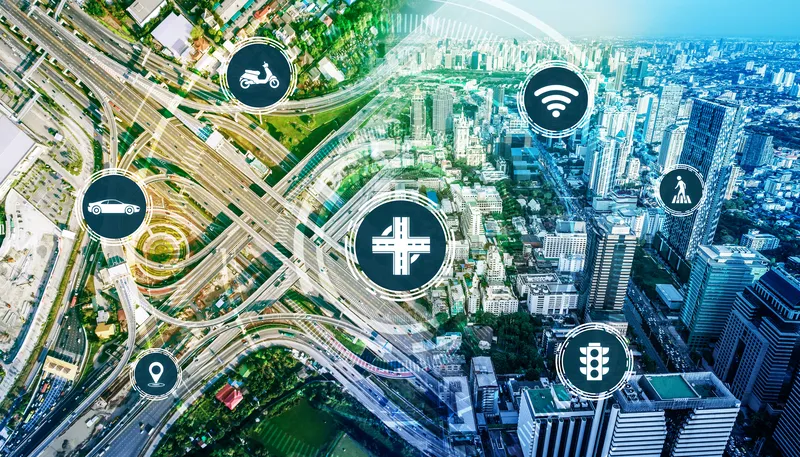
TomTom and ParkWhiz offer parking solutions in US and Canada
TomTom is integrating its maps with ParkWhiz’s database of parking facilities across the US and Canada to help drivers navigate more quickly to parking destinations. TomTom will allow drivers to view, reserve and pay for parking from their vehicles.
June 28, 2018
Read time: 1 min
1692 TomTom is integrating its maps with ParkWhiz’s database of parking facilities across the US and Canada to help drivers navigate more quickly to parking destinations.
TomTom will allow drivers to view, reserve and pay for parking from their vehicles.
Fusion Processing’s Jim Hutchinson looks at a two-year trial of the company’s cyclist detection system. Is cycling in a city dangerous? Well, that depends where you are and how you view statistics. Malmö is far more bike-friendly than Mumbai and the risk can either be perceived as small - one death per 29 million miles cycled in the UK in 2013 - or large - that equated to 109 deaths in the same year. Whatever your personal take on the data, the effect of these accidents can be felt indirectly too. News of c
Ton Brand describes the GSM Association's Embedded mTelematics programme. As the world's roads become increasingly crowded, consumers and businesses are demanding better real-time information to help them both avoid traffic congestion and make smarter use of public transport. Embedding mobile connectivity directly into vehicles can enable drivers and passengers to see live traffic flows in their localities, as well as the expected arrival time of the next bus, ferry or tram
EastLink has used an aerial drone from Telstra to capture a Lidar map for its Mullum Mullum tunnel in Australia to help support safe trials of fully self-driving cars. Doug Spencer-Roy, EastLink’s corporate affairs and marketing manager, said that trial sites need to be mapped in high resolution to allow self-driving car prototypes to be conducted under controlled conditions to test their safe operation. Additionally, the process can also support the company’s maintenance activities, by allowing the deta