Polish smart cities IT solutions provider has chosen Nedap’s Sensit wireless parking to improve on-street parking in the Polish city of Piekary Śląskie.
The new Parkanizer platform from BT Skyrise collects and shares data for parking guidance and reporting purposes and is integrated with Sensit, which monitors the real-time usage of on-street parking spaces using parking bay mounted sensors.
Sensit consists of bay-mounted parking sensors using combined magnetic and infrared detection technology to ens
Polish smart cities IT solutions provider has chosen 3838 Nedap’s Sensit wireless parking to improve on-street parking in the Polish city of Piekary Śląskie.
The new Parkanizer platform from BT Skyrise collects and shares data for parking guidance and reporting purposes and is integrated with Sensit, which monitors the real-time usage of on-street parking spaces using parking bay mounted sensors.
Sensit consists of bay-mounted parking sensors using combined magnetic and infrared detection technology to ensure accurate vehicle detection. Real time parking occupancy status information is transmitted via the wireless network to the central hosted cloud-based server, which transmits it to the Parkanizer platform.
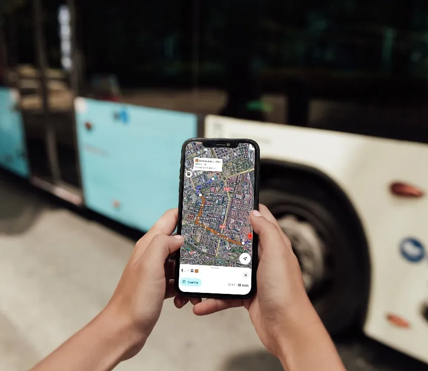
Parkanizer displays the availability and pricing of parking spaces to drivers via a smartphone app, using dynamic markers on a map, including the number of available parking spaces in geo-location context. Parking spaces reserved for people with disabilities are marked separately. Motorists receive real time updates on vacant parking spaces. When parked, the app can be used to pay on-line.
Parkanizer Analytics enables parking operators to manage, monitor and control the real-time usage of parking spaces.
The new Parkanizer platform from BT Skyrise collects and shares data for parking guidance and reporting purposes and is integrated with Sensit, which monitors the real-time usage of on-street parking spaces using parking bay mounted sensors.
Sensit consists of bay-mounted parking sensors using combined magnetic and infrared detection technology to ensure accurate vehicle detection. Real time parking occupancy status information is transmitted via the wireless network to the central hosted cloud-based server, which transmits it to the Parkanizer platform.
Parkanizer displays the availability and pricing of parking spaces to drivers via a smartphone app, using dynamic markers on a map, including the number of available parking spaces in geo-location context. Parking spaces reserved for people with disabilities are marked separately. Motorists receive real time updates on vacant parking spaces. When parked, the app can be used to pay on-line.
Parkanizer Analytics enables parking operators to manage, monitor and control the real-time usage of parking spaces.