As part of the City2.e 2.0 research project, Siemens is demonstrating a faster way to find kerbside parking in the Bundesallee in Berlin in cooperation with the Senate Department for Urban Development and the Environment in Berlin (SenStadtUm), the VMZ Berlin Betreibergesellschaft mbH, the Institute for Climate Protection, Energy and Mobility (IKEM), and the Robotics Innovation Center of the German Research Center for Artificial Intelligence (DFKI).
Street lamps on a 200 metre long section of road betwee
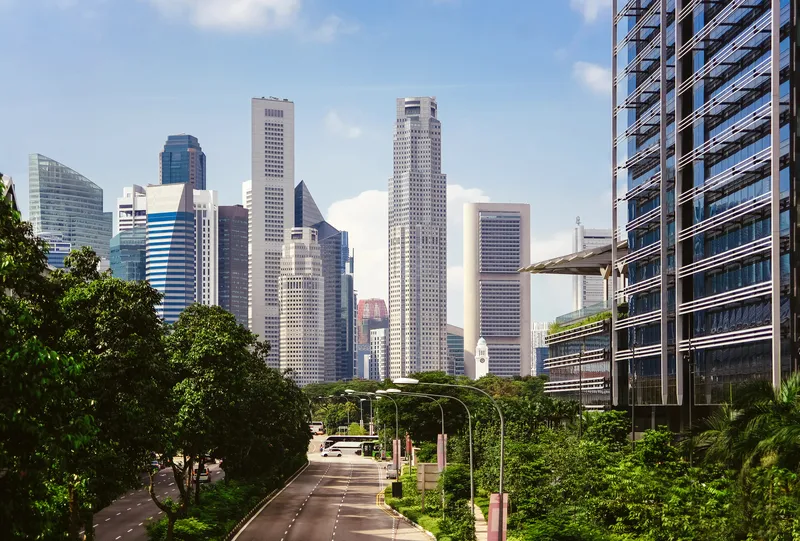
As part of the City2.e 2.0 research project, 189 Siemens is demonstrating a faster way to find kerbside parking in the Bundesallee in Berlin in cooperation with the Senate Department for Urban Development and the Environment in Berlin (SenStadtUm), the 6409 VMZ Berlin Betreibergesellschaft mbH, the Institute for Climate Protection, Energy and Mobility (IKEM), and the Robotics Innovation Center of the German Research Center for Artificial Intelligence (DFKI).
Street lamps on a 200 metre long section of road between Walther-Schreiber-Platz and Friedrich-Wilhelm-Platz in Berlin Friedenau have been equipped with radar sensors that continuously monitor urban parking areas and report free parking spaces and the number of occupied e-parking spots to parking space management software. The network of sensors scans from above an area of up to 30 metres, the equivalent of five to eight parking spaces.
The data collected by the system can either be used by the traffic information centre for its own information services or forwarded through a data interface, such as to app operators, so that drivers can always find free parking spaces simply by using their smartphone, a navigation device or the parking guidance signs.
Key to the project is the software application developed by the Robotics Innovation Center uses intelligent learning methods. Data from parking space sensors helps the system to recognise typical parking space situations. This learning feature enables the system to predict in advance where and when the best opportunities exist for finding a free parking space. The system is also coupled with a multimodal route planner; if no parking spaces are available, the route planner provides real-time information on possible options for switching to public transportation services.
The project is funded by the German Federal Ministry for the Environment, Nature Conservation, Building and Nuclear Safety (BMUB). By doing so, the Federal Ministry is pursuing one essential goal: the reduction of the carbon dioxide, pollutant and noise emissions due to road traffic.
The test results will be available in 2016 and should prove that by reducing parking
search traffic the system is suitable for cutting CO2 emissions.