Parkopedia, Apple collaborate on parking information

Parking services provider Parkopedia is to collaborate with Apple in a deal that will allow Apple Map users to view key information on more than 40 million parking spaces in 75 countries around the world. In addition, users will have the option to click through to Parkopedia's website and iOS app to view more detailed information including pricing, user reviews, special offers and real-time space availability. They will also be able to make reservations.
July 28, 2016 Read time: 1 min
Parking services provider 7374 Parkopedia is to collaborate with Apple in a deal that will allow Apple Map users to view key information on more than 40 million parking spaces in 75 countries around the world.

In addition, users will have the option to click through to Parkopedia's website and iOS app to view more detailed information including pricing, user reviews, special offers and real-time space availability. They will also be able to make reservations.

For more information on companies in this article

Related Content

  • MassDOT joins Waze connected citizens program
    June 17, 2016
    The Massachusetts Department of Transportation has entered a data-sharing partnership with Waze, the real-time traffic navigation app, to provide motorists with real-time traffic conditions across Massachusetts in a bid to ease traffic congestion. Designed as a free, two-way data share of publicly available, crowd-sourced traffic information, the Connected Citizens Program promotes greater efficiency, deeper insights and safer roads for citizens of Massachusetts along with more than 70 other partners aro
  • Hectronic displays CiteaMax and Citea Standard parking machines
    April 5, 2016
    Visitors to the Hectronic stand here at Intertraffic Amsterdam will be encouraged to take a ticket from a Citea Touch parking ticket machine which is actually an entrance ticket for the HecCinema so they can watch the brand new Hectronic image movie.
  • Esri software powers Lithuania project
    October 8, 2015
    The government of Lithuania has used Esri’s software to create a website – which went live this week - covering all of its transport network rather than simply one urban area. “It’s a multimodal journey planner for the whole country,” explains Terry C. Bills, Global Transportation Industry Manager at Esri. “So it’s a question of stitching together city systems with inter-city ones and pulling them together in a seamless way.”
  • Singapore's first smart car park & EV charging system launched
    May 9, 2023
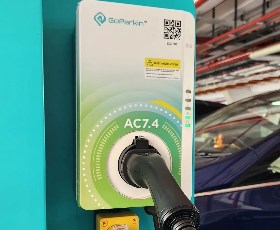
    ST Engineering is building GoParkin network at NTU Singapore's campus