Parking.Brussels launches integrated data app to guide motorists to car parks

Parking.Brussels (P.B) has launched a new app to help guide motorists to car parks by integrating data into existing route planning applications such as Google Maps, Apple Maps and Waze. Users in the region can also utilise a custom parking option for requirements such as charging stations for electric vehicles, bicycle parking or proximity to public transport. The application contains over 24,000 parking spaces, spread over 58 parking and can indicate whether certain car parks are free or full. Users can
December 20, 2017 Read time: 1 min

Parking.Brussels (P.B) has launched a new app to help guide motorists to car parks by integrating data into existing route planning applications such as Google Maps, Apple Maps and Waze. Users in the region can also utilise a custom parking option for requirements such as charging stations for electric vehicles, bicycle parking or proximity to public transport.

The application contains over 24,000 parking spaces, spread over 58 parking and can indicate whether certain car parks are free or full.

Users can also save their favourite parking location and search by address or via geolocation.

P.B plans to integrate more car parks into its system in the future.

Related Content

  • OS data helps EVs and cities 
    November 8, 2021
    OS says new mapping techniques are addressing rapid urbanisation 
  • US Cities push for smarter poles
    June 25, 2018
    US Cities The need to connect existing infrastructure has led various US transit authorities into imaginative alleyways: David Crawford examines some new roles for street furniture. US cities are vying with each other in developing schemes to create a new generation of connected places. Their strategies include taking advantage of their streetlight poles’ height and ubiquity to give them new roles in supporting intelligent nodes. They are now being equipped for collecting real-time data on key transport
  • Witkar in Amsterdam: same old, same old
    April 22, 2025
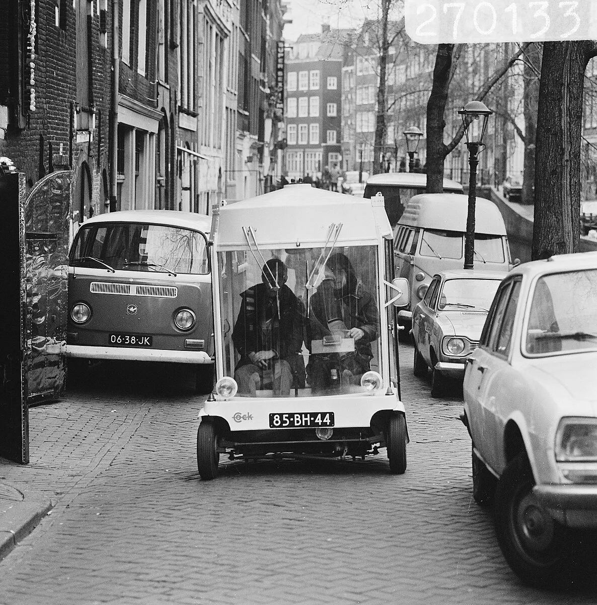
    An electric, shared mobility scheme in a major European city? Nothing remarkable about that - except this one started half a century ago. Beate Kubitz traces the history of Witkar
  • 5 million public transport stops mapped by Moovit as community of local editors grows to 200,000
    October 31, 2017
    Moovit has added 5 million public transport stops worldwide to its app and increased the number of local editors, Mooviters, who map out their own transport networks where public data is not readily available, to 200,000. In addition, Japanese has also been added as the 44th language available for the app. These initiatives are aimed at helping to make travel smoother for commuters while building a global repository of transport data that governments, urban planners and businesses can use to better prepare