Dubai RTA unveils smart system to identify parking spaces

Dubai’s Roads and Transport Authority (RTA) has launched a system which it says can reduce search time for parking spaces by up to 30%. RTA says the smart parking system in the Al Rigga areas of Deira and the World Trade Center along Sheikh Zayed Road (E11) provides real-time information on vacant spaces. This service allows drivers to identify vacant parking spaces through an electronic guide board. Maitha Bin Oday, executive director of traffic and roads authority, says: “Ground sensors and digital
May 14, 2019 Read time: 1 min

Dubai’s Roads and Transport Authority (RTA) has launched a system which it says can reduce search time for parking spaces by up to 30%.

RTA says the smart parking system in the Al Rigga areas of Deira and the World Trade Center along Sheikh Zayed Road (E11) provides real-time information on vacant spaces.

This service allows drivers to identify vacant parking spaces through an electronic guide board.

Maitha Bin Oday, executive director of traffic and roads authority, says: “Ground sensors and digital cameras monitor the use of parking and automatically identify the vacant places, and send this information simultaneously to the central control system.”

It can also carry out analysis of data from the central control system for smart parking to improve control and inspection services and studies of future expansion plans, the authority adds.

Related Content

  • Flir helps Indonesia start tackling congestion
    March 19, 2014
    Indonesia has started tackling acute traffic congestion in Jakarta and Surabaya. When talking about Jakarta, Indonesia’s economic, cultural and political centre, it is very easy to lapse into superlatives. With a population of over 10 million people it is the thirteenth most populated city in the world and the biggest in South East Asia. The official metropolitan area, known as Jabodetabek, is also the second largest in the world. Almost 98% of journeys in Jabodetabek are made by road and the tremendous
  • UK drivers get real time traffic information boost
    August 9, 2012
    The UK Highways Agency is trialling a system to add commercially available traffic data to its existing sources to monitor how well traffic is flowing on England's motorways and strategic roads. Similar data sources are already used by satellite navigation devices, smartphones, and applications like Google maps. Better real-time data will allow agency staff to respond more quickly to incidents and identify delays and communicate them to drivers so they can take alternative routes if necessary.
  • Platooning with Ease on the I-70
    July 15, 2025
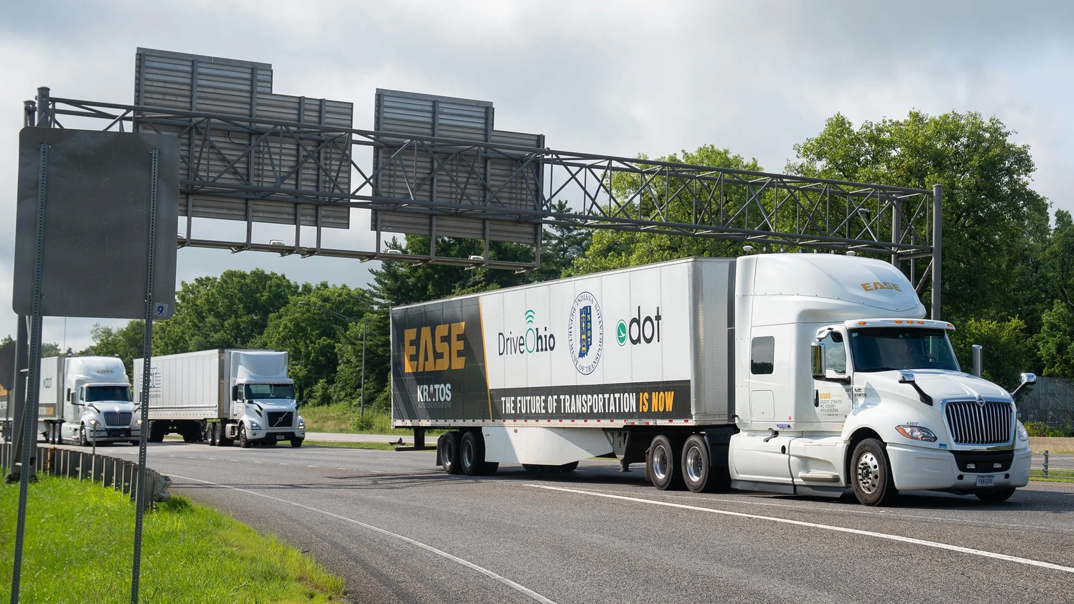
    What would happen to truck platooning - a nascent technology - if the weather turns nasty? The I-70 Truck Automation Corridor Project in the northern US should provide some answers, reports David Arminas…
  • Making the case for ALPR in enforcement
    February 2, 2012
    Federal Signal's Brian Shockley uses examples from around the world to make the case for the greater use of automatic license plate recognition technology in the US. It is time, he says, to consider the possibilities of a national network and the use of average speed enforcement